What is recorded here
West of Carrigafoyle Castle, a buried church and its long enclosure still mark the ground, possibly the parish church of the O'Connor Kerry clan in the fifteenth century. The wall bends south then west, leaving a gap wide enough for carts or processions, while the castle watches from nearby elevated land. Whatever prayers or markets filled that space, the earth kept the shape, and the clan's name still belongs to the silence there.
Church KE002-043001- is situated on slightly elevated land to the W of Carrigafoyle Castle (KE002-045----).
An enclosure (KE002-043002-) would appear to extend out of the S wall near the W gable and from the E gable. The former travels for 22m before curving S and then W. A 7.6m wide gap can be noted to the S. This enclosure shows up quite clearly on aerial photographs. It was possibly a parish church for the O'Connor Kerry clan. The construction of this church would appear to be coeval with the nearby castle (KE002-045----), thus giving it a 15th century date.
The above description is derived from C. Toal, ‘North Kerry Archaeological Survey’. Dingle. Brandon in association with FAS Training and Employment Authority (1995), no. 927. In certain instances the entries have been revised and updated in the light of recent research.
Date of upload: 3 August 2013
The monument record does not grant public access. Check the route and ask the landowner before entering private land.
- What survives
- Recorded monument
Places near here
 Church (in ruins)Church · 17 yd
 Siege of Carrigafoyle Castlesiege · 119 yd
 CastleCastle, ringwork · 124 yd
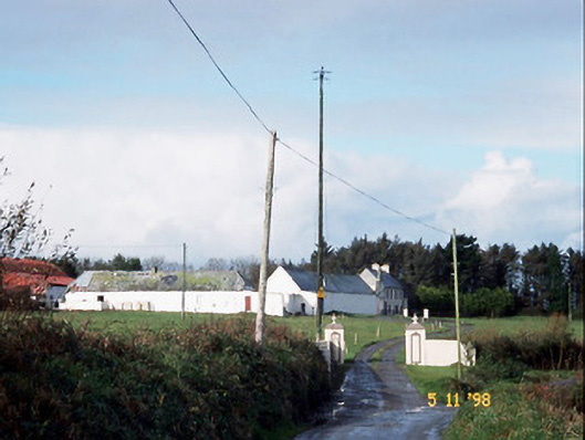 Kilelton Farm Yardfarmyard complex · 135 yd
 Carrigafoyle Cas. (in ruins)Castle, tower house · 155 yd
 Causeway in Carrig IslandCauseway · 237 yd
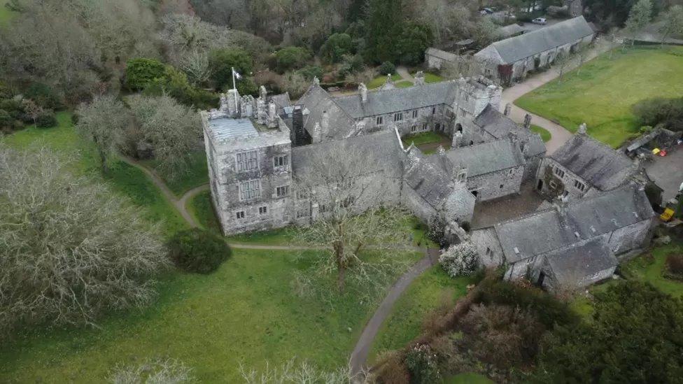 ToberscatteryHoly well · 410 yd
 Carrig IslandIsland · 561 yd
 Fawley's PointHeadland · 2.9 mi
 Scattery IslandIsland · 3.0 mi
 Scattery Island Visitor CentreVisitor information · 3.2 mi
 Mall PointHeadland · 3.4 mi