What is recorded here
Carrigafoyle conceals a pear-shaped enclosure that resists human mapping yet surrenders to aerial photography. The earth rises merely sixty centimeters above the surrounding soil, forming a shallow boundary that fieldbanks now cut through on the south and east. It remains invisible to modern survey instruments but emerges clearly when viewed from above, suggesting human hands shaped the landscape before forgetting their own work.
This irregularly shaped enclosure is not marked on the OS maps, but it does show up clearly on aerial photographs taken by the Survey in 1987, where it appears as an unusual pear shape. Very difficult to determine on the ground, it measures 37.6m N-S and rises to .6m high. It is cut on the S and E sides by fieldbanks, thus making measurements difficult to obtain.
The above description is derived from C. Toal, ‘North Kerry Archaeological Survey’. Dingle. Brandon in association with FAS Training and Employment Authority (1995), no. 1020. In certain instances the entries have been revised and updated in the light of recent research.
Date of upload: 3 August 2013
The monument record does not grant public access. Check the route and ask the landowner before entering private land.
- What survives
- Recorded monument
Places near here
 CastleCastle, ringwork · 195 yd
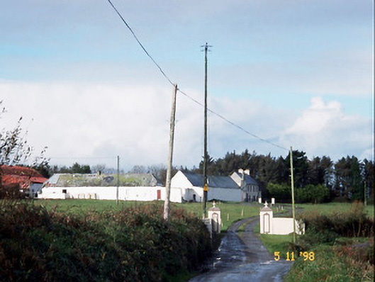 Kilelton Farm Yardfarmyard complex · 233 yd
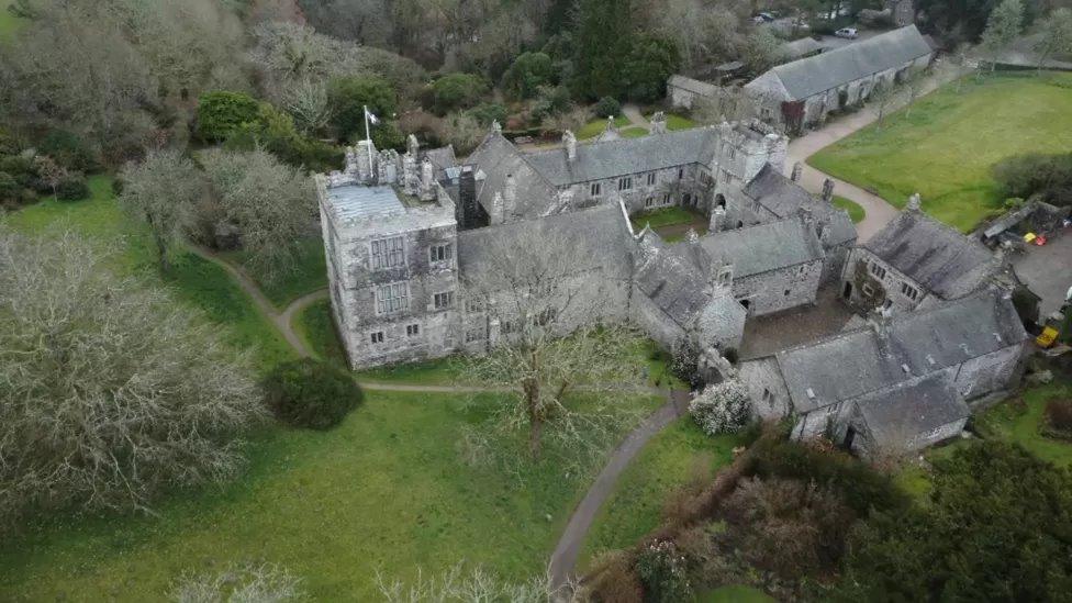 ToberscatteryHoly well · 257 yd
 Siege of Carrigafoyle Castlesiege · 278 yd
 Church (in ruins)Church · 307 yd
 Carrigafoyle Cas. (in ruins)Castle, tower house · 404 yd
 Causeway in Carrig IslandCauseway · 493 yd
 Carrig IslandIsland · 804 yd
 Fawley's PointHeadland · 3.1 mi
 Scattery IslandIsland · 3.2 mi
 Scattery Island Visitor CentreVisitor information · 3.3 mi
 Cusheen PointHeadland · 3.5 mi