What is recorded here
On a gently undulating ENE-facing slope, in pasture, with good views from NW-N and restricted elsewhere. The townland boundary with Arywee lies 280m to E. Monument is not depicted on OSi historic maps, although the area is occupied by a farmstead on the 1840 ed. OSi 6-inch map. Identified as a large oval-shaped cropmark on Bruff Survey aerial photographs (Bruff 74: AP4/3705). Monument surveyed in 2000 by the ASI and described as a raised oval-shaped area (20m N-S; 16m E-W) defined by a scarp (Wth 3m; H 0.6m) which is higher on the downslope where it has been raised from N-E-S and is lower on the upslope from S-W-N. A field boundary runs across the site to N of centre. The interior has a gentle E-facing slope. Monument is visible as a substantial oval-shaped cropmark (106m ESE-WNW; 96m NNW-SSE) which is best preserved from ESE-S-W-WNW, on Digital Globe orthophotos taken 2011-13 and on Google Earth orthoimages taken 06/02/2018.
See attached Bruff Survey aerial photograph and Google Earth orthoimage
Compiled by: Alison McQueen and Vera Rahilly
Date of upload: 16 August 2020
The monument record does not grant public access. Check the route and ask the landowner before entering private land.
- What survives
- Recorded monument
Places near here
 Enclosure in Arywee,carnaneEnclosure · 652 yd
 Carnane RockNamed rock · 864 yd
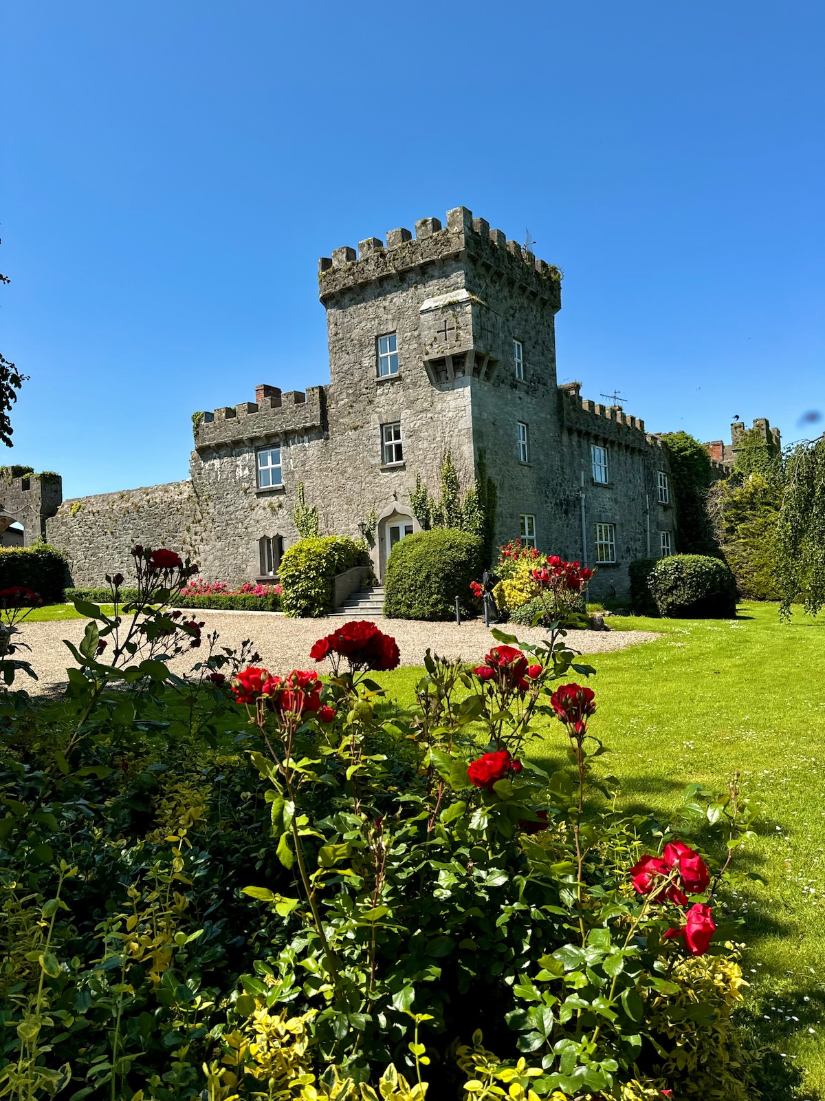 Enclosure in Fanningstown (smallcounty By.)Enclosure · 1233 yd
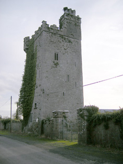 Williamstown Castlecastle/fortified house · 1239 yd
 ToberauillinSpring · 1429 yd
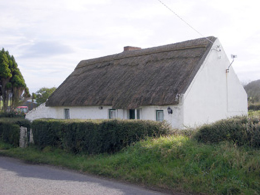 The Thatchhouse · 1577 yd
 Rockstown Castle (in ruins)Castle, tower house · 1.1 mi
 Ballynagarde Ho.Castle, tower house · 1.2 mi
 Skool HillMountain / peak · 1.4 mi
 Banoge's WellSpring · 1.9 mi
 European ashEuropean ash · 4.1 mi
 Grange Stone CircleArchaeological place · 4.1 mi