What is recorded here
In pastureland. A roughly circular cropmark enclosure (diam. c. 40m) was brought to the attention of the Survey by Jean-Charles Caillère who identified it on Google Earth satellite imagery dated March 2018. A now-levelled NE-SW running field boundary, which is shown on the OS 6-inch mapping, cut across its SE limits.
The following image has been uploaded:
GA086-258----_01.jpg Google Earth, imagery dated 20 March 2018.
Compiled by: Olive Alcock
Date of upload: 12 May 2021
The monument record does not grant public access. Check the route and ask the landowner before entering private land.
- What survives
- Recorded monument
Places near here
 IndicatedKiln, lime · 897 yd
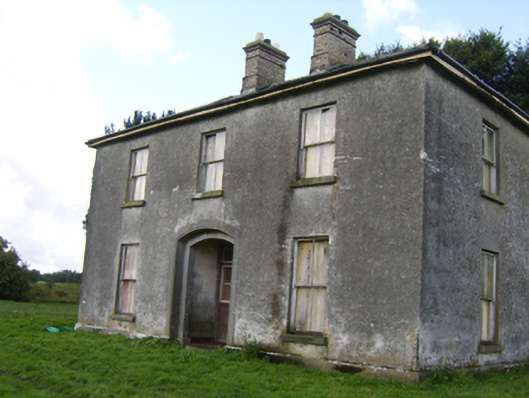 Killaghbeg Househouse · 1210 yd
 Enclosure in CorraneenaEnclosure · 1257 yd
 Enclosure in Ballinderry (kilconnell By.)Enclosure · 1486 yd
 Kilconnell AbbeyHeritage attraction · 1.4 mi
 CastleCastle, unclassified · 1.9 mi
 Site of Lisnamoltaun CastleCastle, unclassified · 2.1 mi
 Oak WoodWood · 2.9 mi
 Large-leaved LimeLarge-leaved Lime · 3.0 mi
 Battle of Aughrim Interpretative CentreMuseum · 3.5 mi
 Battle of AughrimMajor battlefield · 3.9 mi
 The bloody HollowHeritage attraction · 4.2 mi