What is recorded here
In poor terrain in rough grazing. Indicated as an enclosure on Grand Jury Map, 1812-24. A river runs E-W along the N side and a stream runs N-S along the E side, the townland boundary runs along the line of the stream and turns briefly eastward where it joins the E-W river before continuing northward. The enclosure is located within the kink. It is not indicated on either the 1st (1839) ed. OS 6-inch map or the 1900 revision, however, a limekiln is indicated just S of the E-W river at this location. When inspected in 1987 there was no trace of an enclosure at ground level, the area adjacent to the limekiln had been quarried.
Compiled by: Jean Farrelly
Date of upload: 29 June 2020
The monument record does not grant public access. Check the route and ask the landowner before entering private land.
- What survives
- Recorded monument
Places near here
 IndicatedEnclosure · 660 yd
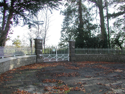 Curragh Housegates/railings/walls · 1511 yd
 CastleCastle, unclassified · 1528 yd
 Enclosure in TrenchardstownEnclosure · 1.1 mi
 Church in Killahy (crannagh By.)Church · 1.6 mi
 Killahy Castle in ruinsCastle, unclassified · 1.7 mi
 Killeen Fox CovertForest · 2.1 mi
 Kildrinagh WoodForest · 2.3 mi
 Warhouse HillMountain / peak · 3.5 mi
 Kilcooly AbbeyHeritage attraction · 4.0 mi
 Bregaun HillMountain / peak · 4.3 mi
 Ballykeeffe Mass RockNamed rock · 4.7 mi