
What is recorded here
On a gentle SE-facing slope in pasture. Described in 1975 (SMR file) as a roughly circular enclosure (diam. c. 88m) divided by a NE-SW running field boundary. The enclosing element had been levelled to the N of the field boundary but to the S of it, it was defined by a bank of earth and stone and fragmentary traces of an external fosse from ENE-S-WSW. A series of low banks visible to the E appeared to be associated with it. Only the outline of the enclosing bank (Wth c. 4.5m; max. H 0.2m) is now visible. The ‘Caltragh’ element of the townland name, meaning old burying ground, may have been derived from this monument and could suggest the possibility that it may have been used for burial. The size and circularity of the enclosure is reminiscent of those found at ecclesiastical sites and the possibility that this is such cannot be ruled out entirely. That said, there is no surviving documentary evidence that links this monument with any ecclesiastical personage.
Compiled by: Patrick F. O'Donovan, Caimin O'Brien
Date of upload: 4 June 2013
The monument record does not grant public access. Check the route and ask the landowner before entering private land.
- What survives
- Recorded monument
Places near here
 IndicatedFairy fort / earthen ringfort · 1004 yd
 Caltragh CastleCastle, unclassified · 1240 yd
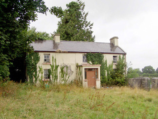 J. Hopkinshouse · 1442 yd
 RoadRoad, class 2 togher · 1443 yd
 PlatformPlatform, peatland · 1631 yd
 Elfeet CastleCastle, Anglo-Norman masonry castle · 2.1 mi
 Culnagore WoodForest · 2.4 mi
 Elfeet BayBay · 2.6 mi
 Bush IslandIslet · 2.7 mi
 Priest's IslandIslet · 2.8 mi
 White Sand WoodWood · 4.3 mi
 Rinnagan PointHeadland · 4.5 mi
Other information
Photo: Credit not shown in the picture search · Rights wording not checked; contact us if this picture should be removed