What is recorded here
That is the name of the place, and the name is still the clearest pointer to what it is. The chamber, the chamber frame, the room, the chamber rope, the chamber edge, the chamber edge, the chamber edge and the chamber edge are still the shape of the place. The chamber is not a hidden chamber, and the chamber is not a missing chamber. The chamber is the visible chamber in the place, and the chamber is the thing the place still points to.
On a gentle NW-facing slope in pasture. Hachured as a ringfort on the 1840 and 1916 OS 6-inch maps. A flat, grass-covered area (diam. c. 50m) defined by a slight scarp down to the interior from E to S, by a mound of spoil SW-NW with farm sheds at N and a straight field boundary at NE. The scarp is visible on Google Earth (imagery date 27 November 2010).
Compiled by: Mary Tunney
Date of upload: 19 November 2025
The monument record does not grant public access. Check the route and ask the landowner before entering private land.
- What survives
- Recorded monument
Places near here
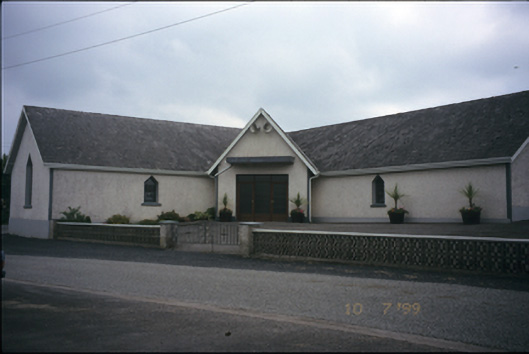 Catholic Church of the Immaculate Conceptionchurch/chapel · 577 yd
 Tobernaneeve (Site of)Holy well · 629 yd
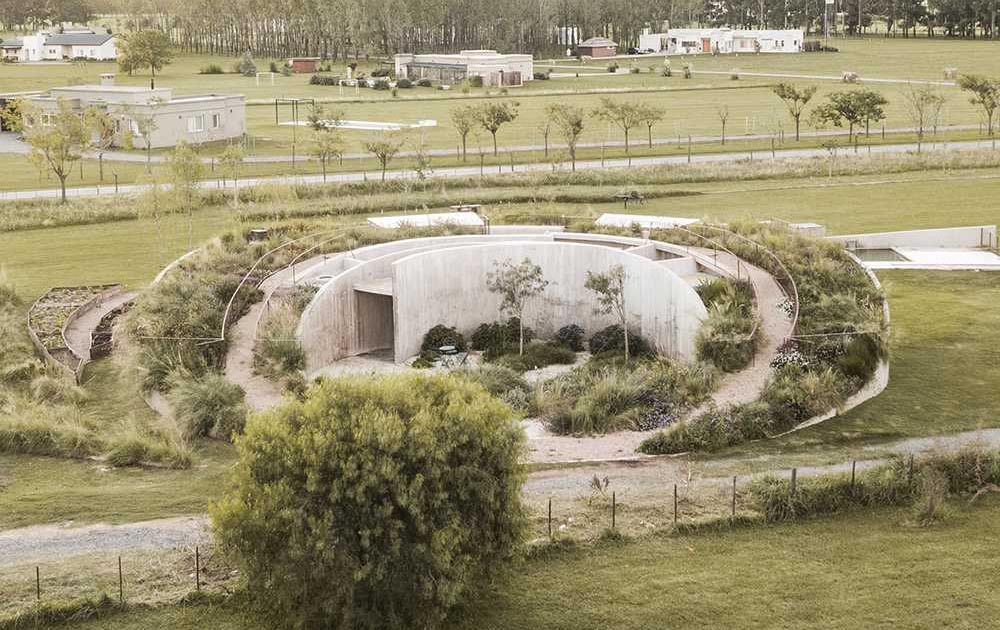 Enclosure in GortnamearacaunEnclosure · 847 yd
 CastleCastle, unclassified · 1.3 mi
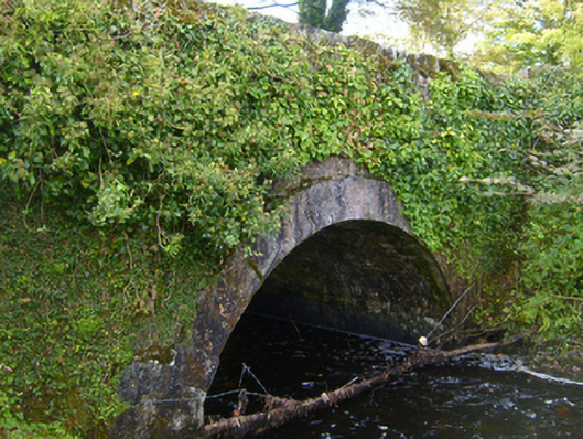 bridgebridge · 2.2 mi
 Ardamullivan Castle (in ruins)Castle, tower house · 3.3 mi
 Mulkere MemorialMemorial · 3.4 mi
 Derrymore WoodWood · 3.8 mi
 MagheraMountain / peak · 4.3 mi
 Swan IslandIsland · 4.6 mi
 Apple IslandWood · 5.0 mi
 Kilmacduagh Monastic SiteVisitor information · 7.0 mi