What is recorded here
Indicated on the 1st ed. (1838) of the OS 6-inch map as a very large D-shaped enclosure (est. diam. c. 170m ESE-WNW) with a straight SSW side (est. L c. 140m), but not recorded on the latest ed. (1911) of the map. In gently undulating pastureland. There was no visible surface trace of the monument in 1985 (SMR file). Visible as a possible cropmark on a recent aerial photograph (OSi Orthophoto 2005).
Compiled by: Gearóid Conroy
Date of upload: 10 June 2011
The monument record does not grant public access. Check the route and ask the landowner before entering private land.
- What survives
- Recorded monument
Places near here
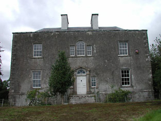 Ballinderry Househouse · 841 yd
 Mylerstown ChurchChurch · 1112 yd
 Mylerstown Castle in RuinsCastle, tower house · 1272 yd
 Base of CrossCross · 1.1 mi
 Enclosure in Collinstown (carbury Ed)Enclosure · 1.4 mi
 Site of Balrinnet CastleCastle, unclassified · 1.6 mi
 Buggan's WoodWood · 2.6 mi
 Bog WoodsWood · 3.0 mi
 Croppies' GraveMemorial · 4.0 mi
 Lullymore Heritage ParkHeritage attraction · 8.2 mi
 The Fairy BowerHeritage attraction · 8.2 mi
 Grand Canal WayVisitor information · 10.0 mi