What is recorded here
In pasture. Circular area (dims. c. 40m N-S; c. 30m E-W) defined by bank (overall Wth 8.55m; Wth at top 2.4m; int. H 0.75m; ext. H 1.05m) where seen NW-ENE and S-W, obscured by vegetation elsewhere. Berm (Wth 3.7m) defined on exterior by shallow scarp (Wth 1.6m; H 0.25m) where seen NW-NE and SW-W. Interior inaccessible due to dense vegetation apart from cattle paths in places. Large excavated area (dims. c. 15m N-S; c. 8m E-W; Dth 1.45m) within E-half where monument quarried in antiquity. Field boundaries enclose monument to E, S and W.
Compiled by: Jean Farrelly
Date of upload: 26 August 2011
The monument record does not grant public access. Check the route and ask the landowner before entering private land.
- What survives
- Recorded monument
Places near here
 Cahervillehowe Housecountry house · 433 yd
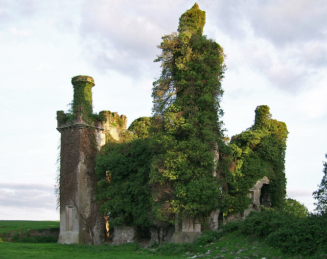 Thomastown CastleCastle · 1068 yd
 Thomastown Castle GateRuins · 1169 yd
 Enclosure in Thomastown Demesne NorthEnclosure · 1.0 mi
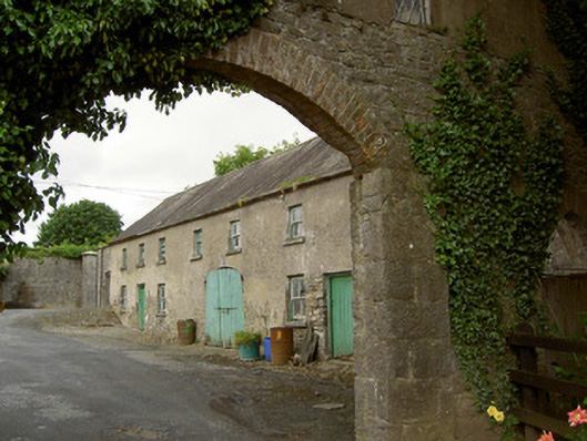 Grantstown Hallfarmyard complex · 1.0 mi
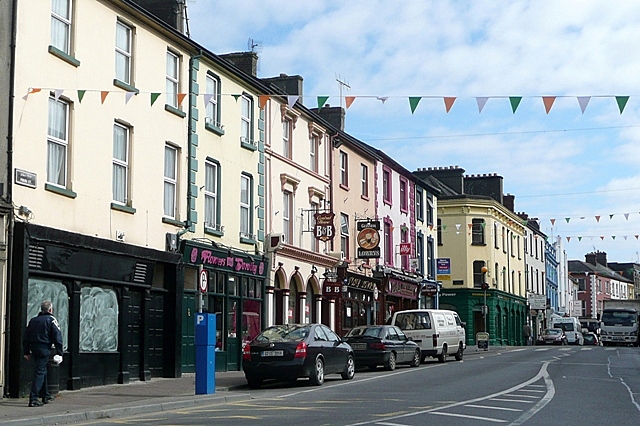 Cloghportagh fortEnclosure · 1.1 mi
 Athassel PrioryHeritage attraction · 2.4 mi
 European ashEuropean ash · 2.9 mi
 Dundrum Woods (Marl Bog)Forest · 4.1 mi
 I.R.A. 3rd. Tipperary Brigade MemorialMemorial · 4.8 mi
 The RockViewpoint · 6.5 mi
 Christ the KingViewpoint · 7.2 mi