What is recorded here
In coniferous forestry. Barely traceable sub-oval area (dims. c. 28m N-S; c. 22m E-W) defined by low, ivy-covered stone bank (overall Wth 2.9m; Wth at top 0.6m; int. H 0.17m; ext. H 0.35m) which is best defined NE-SE. Low, irregular and some linear piles of small stones (L 0.15-0.2m) within and around perimeter are possibly from field clearance. Small mound (dims. 3.5m NW-SE; 3m NE-SW; H 0.45m) of clay is within SW-sector. Remainder of interior and exterior of monument is planted with rows of mature cypress trees covering an irregular shaped area which is fenced off.
Compiled by: Jean Farrelly
Date of upload: 26 August 2011
The monument record does not grant public access. Check the route and ask the landowner before entering private land.
- What survives
- Recorded monument
Places near here
 Cahervillehowe Housecountry house · 483 yd
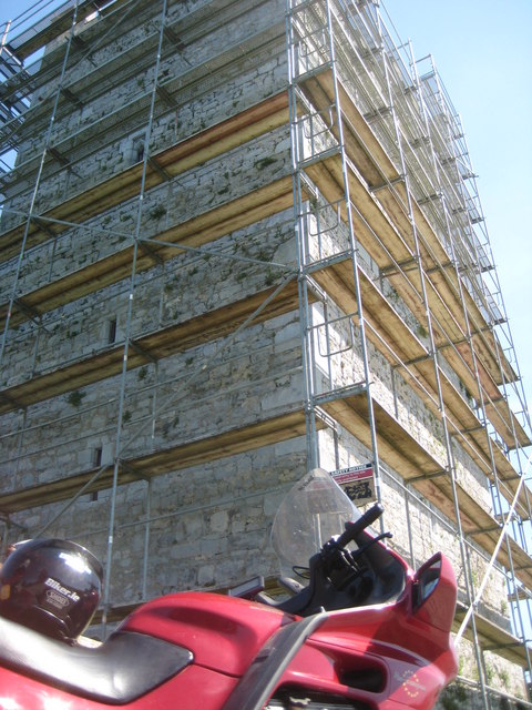 Grantstown Castle (in ruins)Castle, tower house · 1166 yd
 Grantstown CastleCastle · 1167 yd
 Enclosure in GrantstownEnclosure · 1251 yd
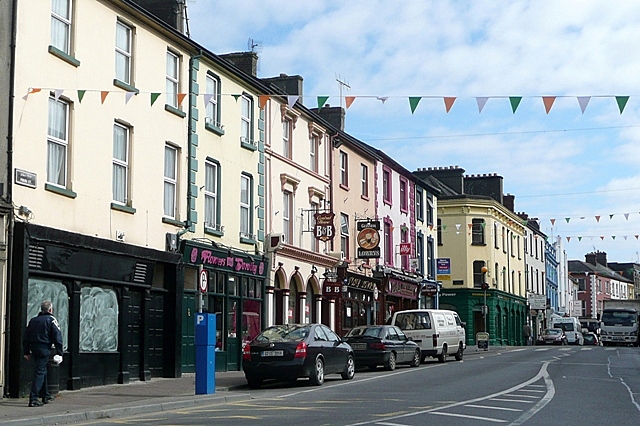 Cloghportagh fortEnclosure · 1547 yd
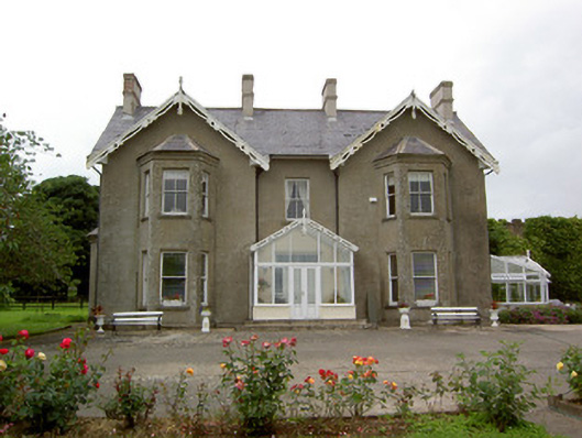 Grantstown Hallcountry house · 1754 yd
 Athassel PrioryHeritage attraction · 2.7 mi
 European ashEuropean ash · 3.0 mi
 Dundrum Woods (Marl Bog)Forest · 3.7 mi
 I.R.A. 3rd. Tipperary Brigade MemorialMemorial · 4.9 mi
 The RockViewpoint · 6.8 mi
 Christ the KingViewpoint · 7.4 mi