What is recorded here
In pastureland. This roughly subcircular enclosure (c. 29m E-W; c. 26m N-S) is visible on Google Earth satellite imagery dated March 2011. A later N-S running field boundary clips its E limits and another field boundary extends off it at NW and runs NW. Subsequent aerial imagery suggests the enclosure is levelled. Another enclosure (GA097-173----) lies c. 530m to the WSW and a rath (GA097-049----) lies c. 317m to the SW.
Compiled by: Olive Alcock
Date of upload: 12 May 2021
The monument record does not grant public access. Check the route and ask the landowner before entering private land.
- What survives
- Recorded monument
Places near here
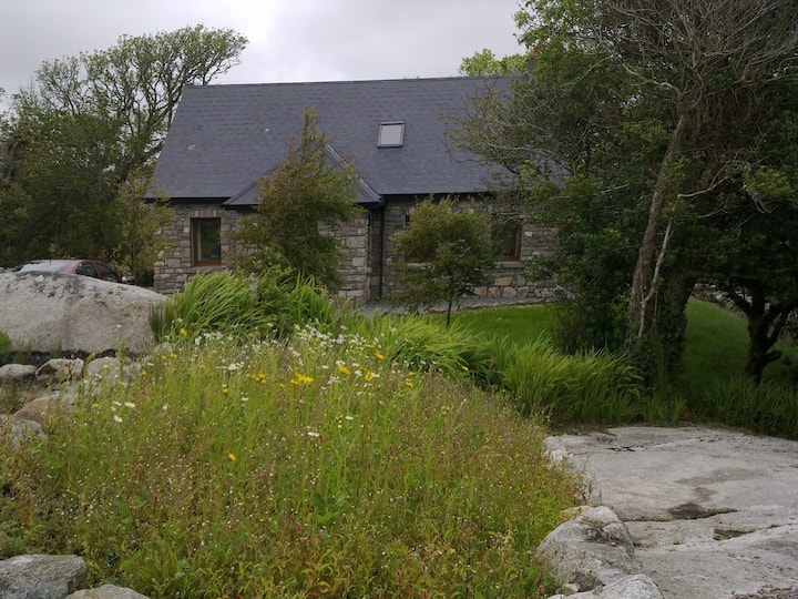 Man-made underground passage in Cahernamuck WestMan-made underground passage · 387 yd
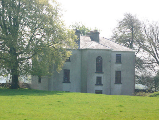 Lynchfort Househouse · 519 yd
 Enclosure in Cahernamuck WestEnclosure · 760 yd
 Bawn in Cahernamuck WestBawn · 763 yd
 Raruddy Castle (in ruins)Castle, tower house · 1.0 mi
 Old Mill[Mill, corn · 1.2 mi
 Turoe StoneHeritage attraction · 1.7 mi
 Barrack IslandIslet · 2.5 mi
 Middle IslandIslet · 2.6 mi
 Long PointHeadland · 3.4 mi
 Dartfield Horse MuseumHeritage attraction · 4.5 mi
 Scalpeen RockNamed rock · 7.7 mi