
What is recorded here
Cahergal is an oval enclosure on a south-facing hillslope in County Galway, measuring 58.1 by 40 metres and marked by a grassed-over stony bank. A burial ground occupies its north-west quadrant while an altar sits in the south-west, suggesting the site served both the living and the dead. People may have walked this slope for seasons, placing offerings beside the dead and watching the sun trace the bank’s edge.
On S-facing hillslope. An oval area (NE-SW 58.1m, NW-SE 40m) defined by a grassed-over stony bank. Some stone-facing is visible at NE. A burial ground (GA055-025002-) lies in NW quadrant and an altar (GA055-025003-) in SW quadrant.
The above description is derived from the published 'Archaeological Inventory of County Galway Vol. II - North Galway'. Compiled by Olive Alcock, Kathy de hÓra and Paul Gosling (Dublin: Stationery Office, 1999).
Date of upload: 05 August 2010
The monument record does not grant public access. Check the route and ask the landowner before entering private land.
- What survives
- Recorded monument
Places near here
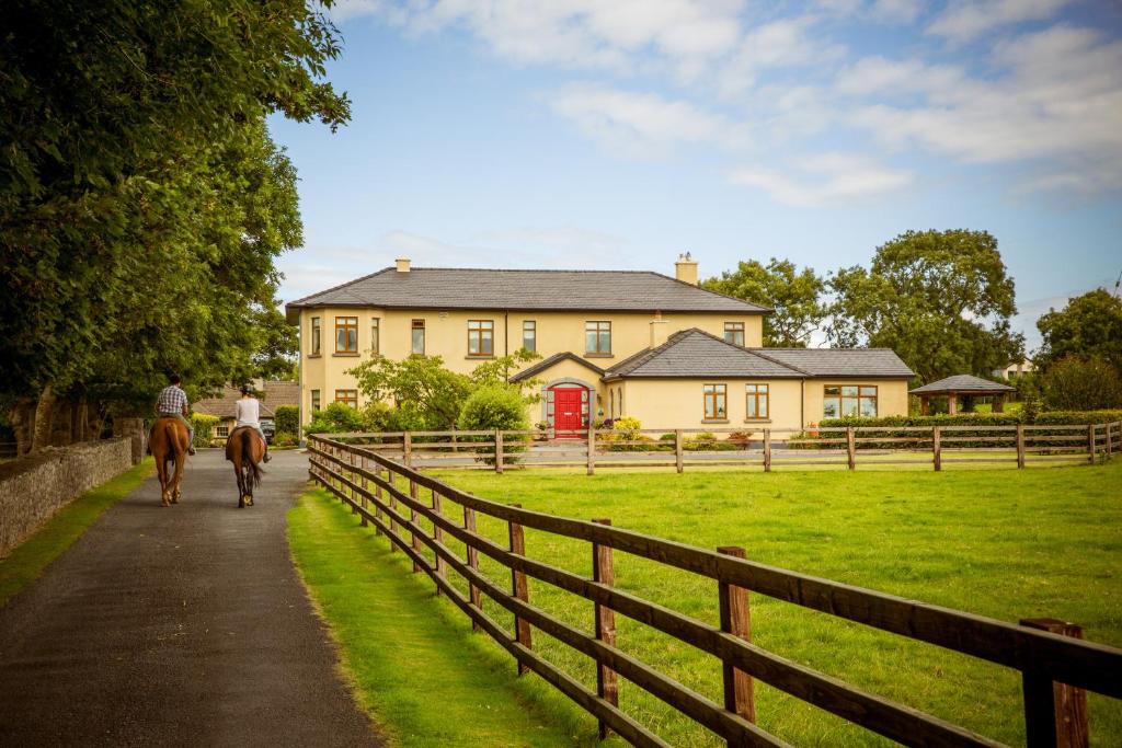 CahergalFairy fort / ringfort · 382 yd
 LisnamonaFairy fort / ringfort · 1204 yd
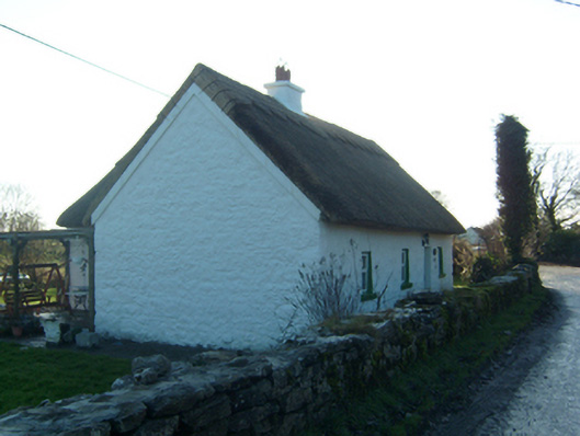 Willow Cottagehouse · 1458 yd
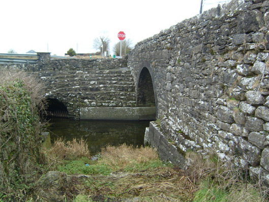 bridgebridge · 1481 yd
 Cloghanower Castle in ruinsCastle, tower house · 1691 yd
 Headford CastleCastle, unclassified · 1.4 mi
 BallynacreggaWood · 1.9 mi
 Walsh's IslandIslet · 2.0 mi
 Ross Errilly FriaryHeritage attraction · 2.2 mi
 Kilcoona Round TowerHeritage attraction · 3.4 mi
 Ballinduff BayBay · 3.5 mi
 Willyrogue IslandIslet · 3.7 mi
Other information
Photo: Credit not shown in the picture search · Rights wording not checked; contact us if this picture should be removed