What is recorded here
Enclosure in Caherfadda is a subcircular ring, thirty-seven metres wide, set on a south-west facing slope above karst and hazel scrub. Its old bank still marks part of the circle, while a later field wall completes the rest, suggesting people lived there long before modern boundaries arrived. Another enclosure and a cairn sit nearby, hinting that this was a busy landscape of homes, herds and memory.
On a SW-facing slope in pasture in an area with some open karst and some hazel scrub and within a large multiperiod field system (CL017-180----). A subcircular enclosure (c. 37m E-W; c. 30m N-S) defined by a low bank or grassed over wall from E to NW and visible on Digital Globe (2011-2013) and on OSi orthophotography (MapGenie 2013-2018). From NW to E the perimeter is formed by a later field wall. Contemporary low field walls abut the perimeter at SE and SW. An enclosure (CL009-196003-) lies c. 25m to the NNE and a cairn (CL009-196002-) is c. 45m to the NNW.
Compiled by: Mary Tunney
Date of upload: 16 May 2023
The monument record does not grant public access. Check the route and ask the landowner before entering private land.
- What survives
- Recorded monument
Places near here
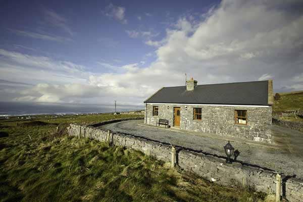 Enclosure in CaherfaddaEnclosure · 116 yd
 Enclosure in MoygownaEnclosure · 639 yd
 Templeline (in ruins)Church · 1729 yd
 Farbrega RockNamed rock · 1.4 mi
 Fergus River CaveCave · 1.4 mi
 Leamaneh CastleCastle · 1.4 mi
 Leamaneh Castle (in ruins)House, fortified house · 1.4 mi
 Saint Joseph's Catholic Churchchurch/chapel · 2.0 mi
 Inchiquin IslandIslet · 3.1 mi
 Rock IslandIsland · 3.2 mi
 CaherconnellHeritage attraction · 3.5 mi
 Cave of the Wild HorsesCave · 3.7 mi