What is recorded here
In pasture 20m W of townland boundary with Camheen. Not depicted on the 1840 0S 6-inch map or the 1897 OS 25-inch map. Identified as a possible enclosure (approx. diam. 15-20m) c. 130m E of gas pipeline through examination of aerial photographs (OSi 1097/8) by Celie O’Rahilly, archaeologist, Limerick Corporation. Area marked on SMR map is now visible as a tee-covered irregular shaped area on Google Earth orthoimage taken 11/09/2019. Doubtful antiquity.
See attached Google Earth orthoimages
Compiled by: Martin Fitzpatrick
Date upload: 29 June 2020
The monument record does not grant public access. Check the route and ask the landowner before entering private land.
- What survives
- Recorded monument
Places near here
 Not shownFulacht fia · 362 yd
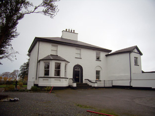 Mount Mungretrectory/glebe/vicarage/curate's house · 702 yd
 Enclosure in Island-DuaneEnclosure · 888 yd
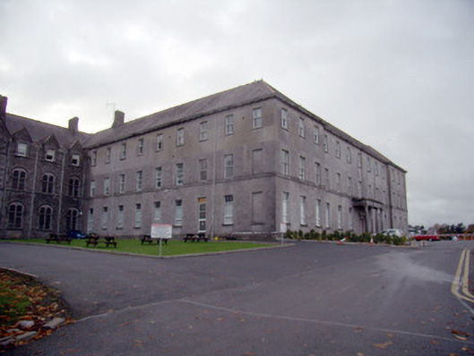 Mungret Collegecollege, stables · 1081 yd
 Coonagh NatureNature reserve · 1.9 mi
 St James's WellSpring · 2.1 mi
 Carrigogunnell CastleRuins · 2.3 mi
 Castle FieldCastle, unclassified · 2.4 mi
 Sailors HaggardMemorial · 3.0 mi
 Grass IslandIslet · 5.6 mi
 Maiden RockNamed rock · 5.9 mi
 Mellon PointHeadland · 6.6 mi