
What is recorded here
Cropmark of possible conjoined enclosures (diam. c. 40m) bisected by farm road visible on OSi Aerial Premium orthoimage taken 2013. Faint traces of cropmark visible on Google Earth orthoimage taken 16/04/2020.
See attached image taken from OSi aerial premium orthophoto dated 2013 and Google Earth orthoimage dated 16/04/2020
Compiled by: Caimin O'Brien based on details provided by Jean-Charles Caillère
Date of upload: 16 February 2022
The monument record does not grant public access. Check the route and ask the landowner before entering private land.
- What survives
- Recorded monument
Places near here
 bridgebridge · 884 yd
 Castle (in ruins)House, indeterminate date · 976 yd
 Enclosure in Turtulla (fertiana Par.)Enclosure · 1336 yd
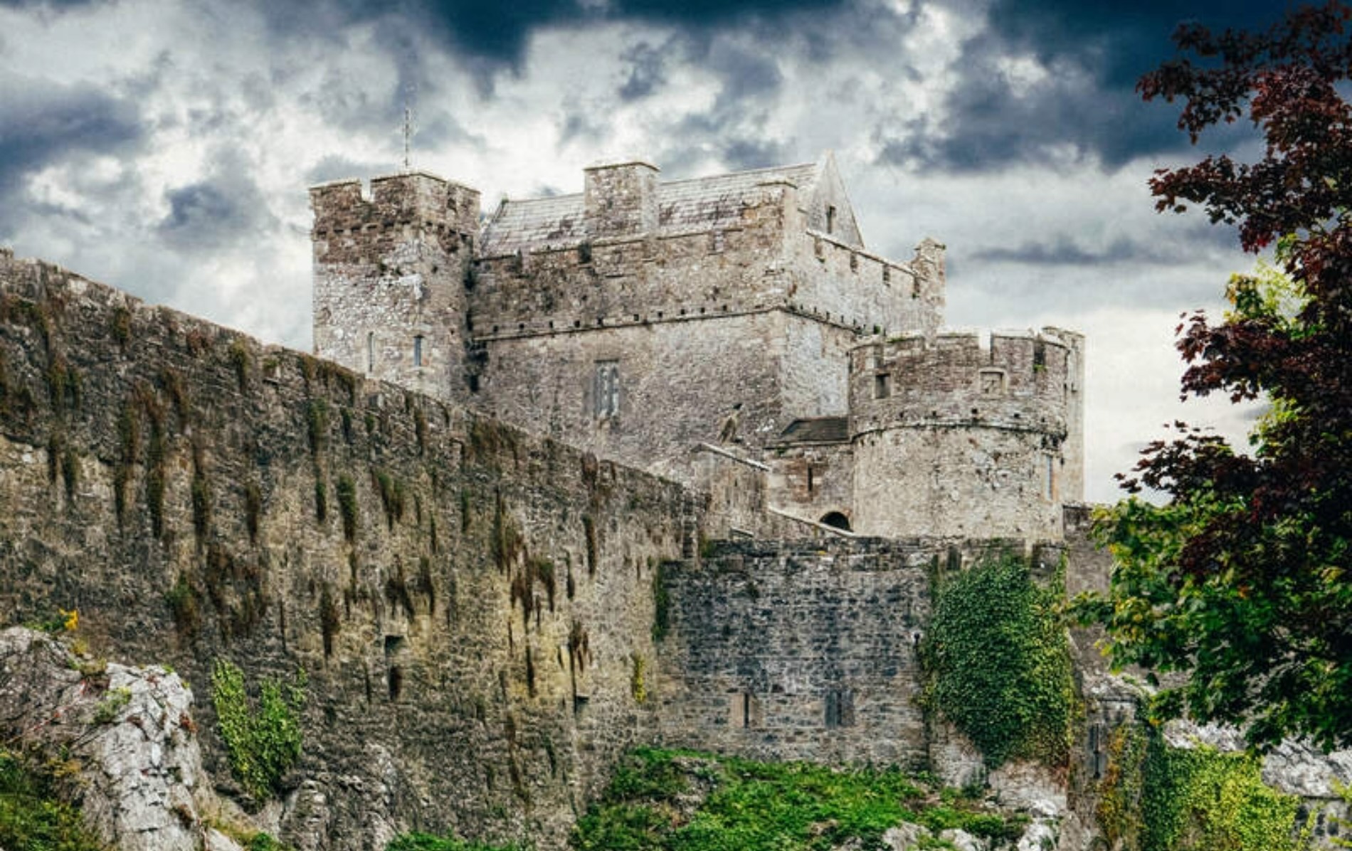 Castle (Site of)Castle, unclassified · 1.2 mi
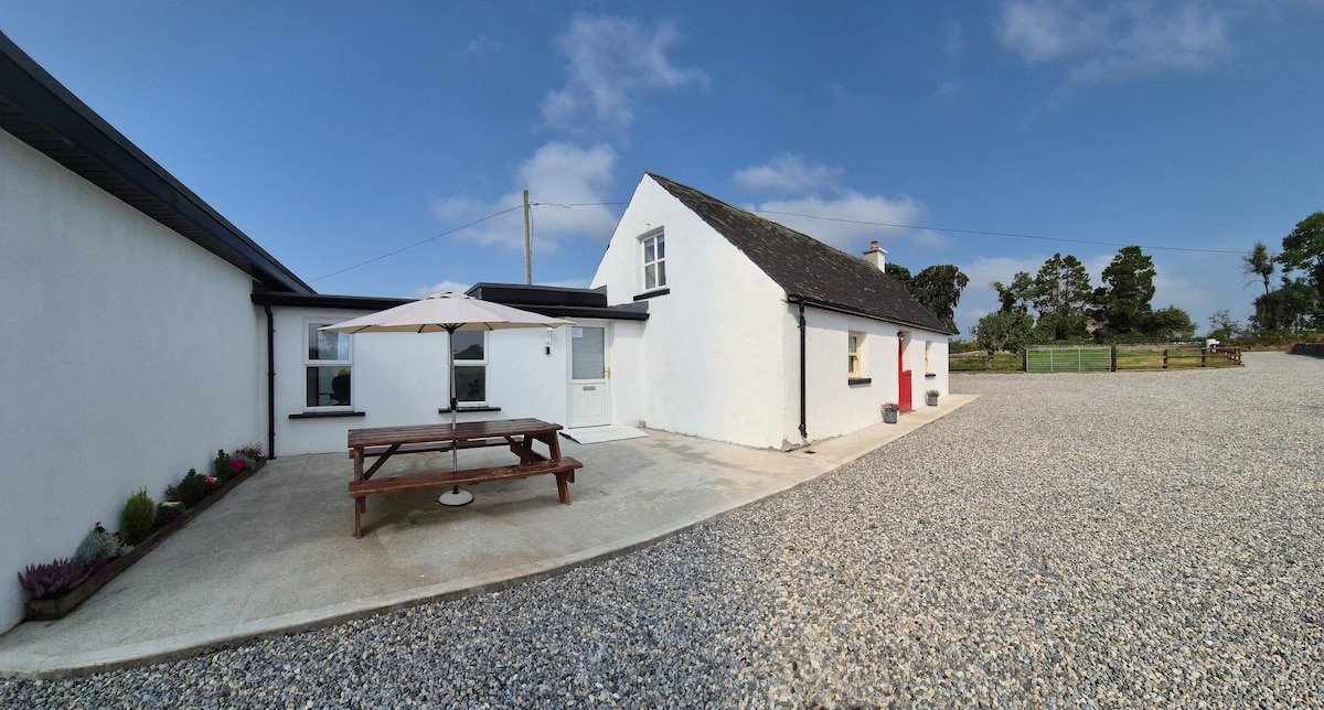 Bawn in Galbertstown LowerBawn · 1.2 mi
 Enclosure in GraiguenoeEnclosure · 1.5 mi
 Wildlife CorridorWood · 1.5 mi
 WoodlandWood · 2.0 mi
 Cormackstown Heritage CentreMuseum · 2.1 mi
 Lár na PáirceMuseum · 2.4 mi
 Killough Hill (site of)Mountain / peak · 2.4 mi
 Horse and JockeyVisitor information · 3.8 mi
Other information
Photo: Credit not shown in the picture search · Rights wording not checked; contact us if this picture should be removed