What is recorded here
On a gentle, SE-facing slope in undulating terrain under rough pasture/meadow. There is no visible trace of the monument at ground level. Depicted as cropmark on OS aerial photograph (2795013/2). Enclosure appears as a roughly circular cropmark with another cropmark (TS083-023001-) to W. A couple of service trenches have been cut through the field, not backfilled but were cut quite some time ago as they are now grass-covered.
Compiled by: Jean Farrelly
Date of upload: 26 August 2011
This remains an important historical record, but the official description says the monument is no longer visible or has been destroyed. The monument record does not grant public access. Check the route and ask the landowner before entering private land.
- What survives
- No visible remains or recorded as destroyed
Places near here
 Enclosure in Burgagery-Lands EastEnclosure · 62 yd
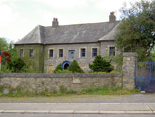 Silversprings Housecharter school · 402 yd
 Minellacountry house · 650 yd
 Monkey-puzzleMonkey-puzzle · 839 yd
 Cork oakCork oak · 854 yd
 RetrospectMemorial · 1048 yd
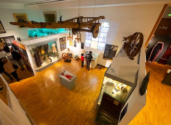 Tipperary Museum of Hidden HistoryMuseum · 1061 yd
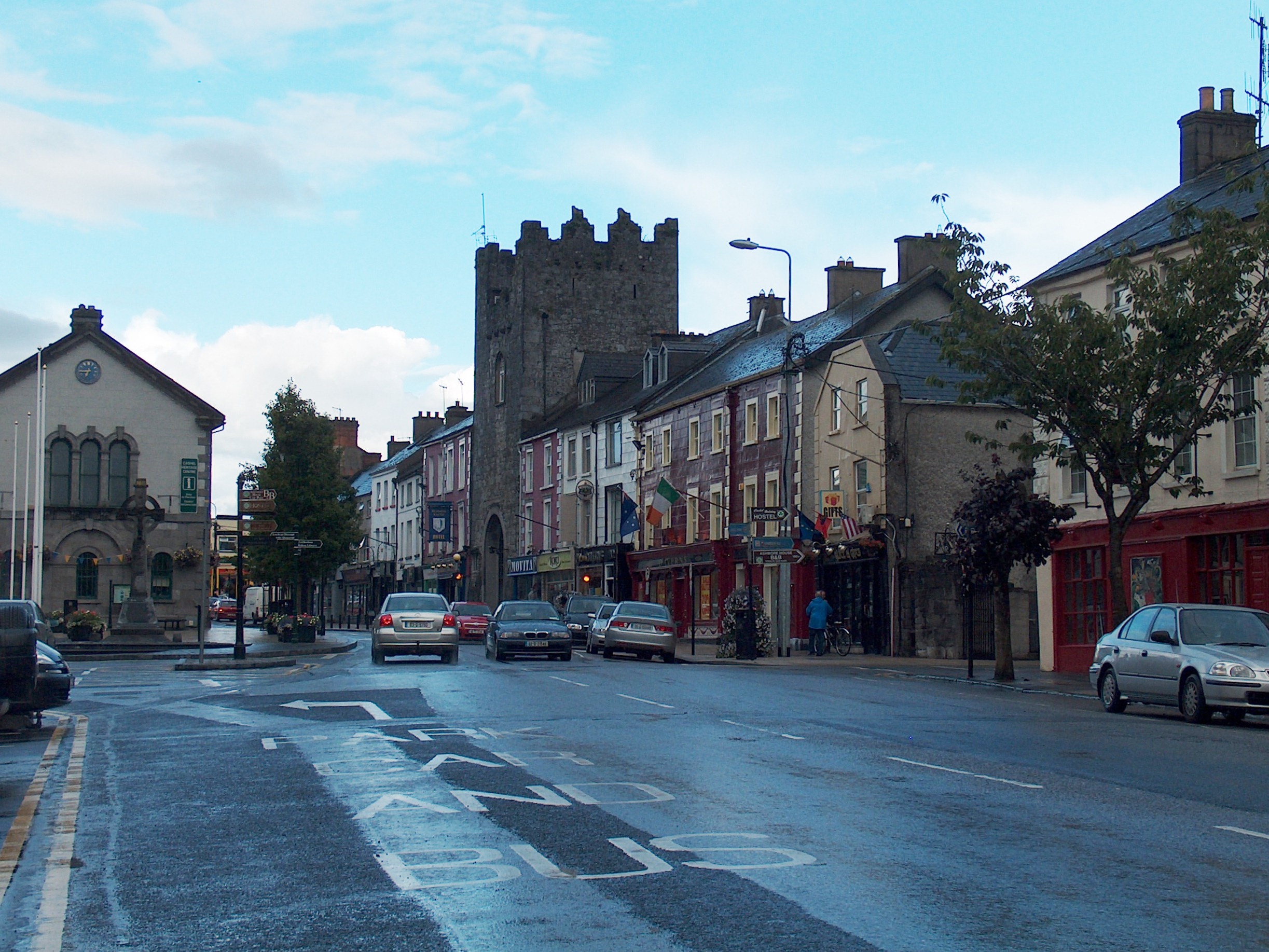 Mick Delahunty SquareMemorial · 1100 yd
 Allen, Larkin and O'Brien MonumentMonument · 1117 yd
 Main GuardHeritage attraction · 1372 yd
 Kilgainy Castle (in ruins)Castle, tower house · 1433 yd
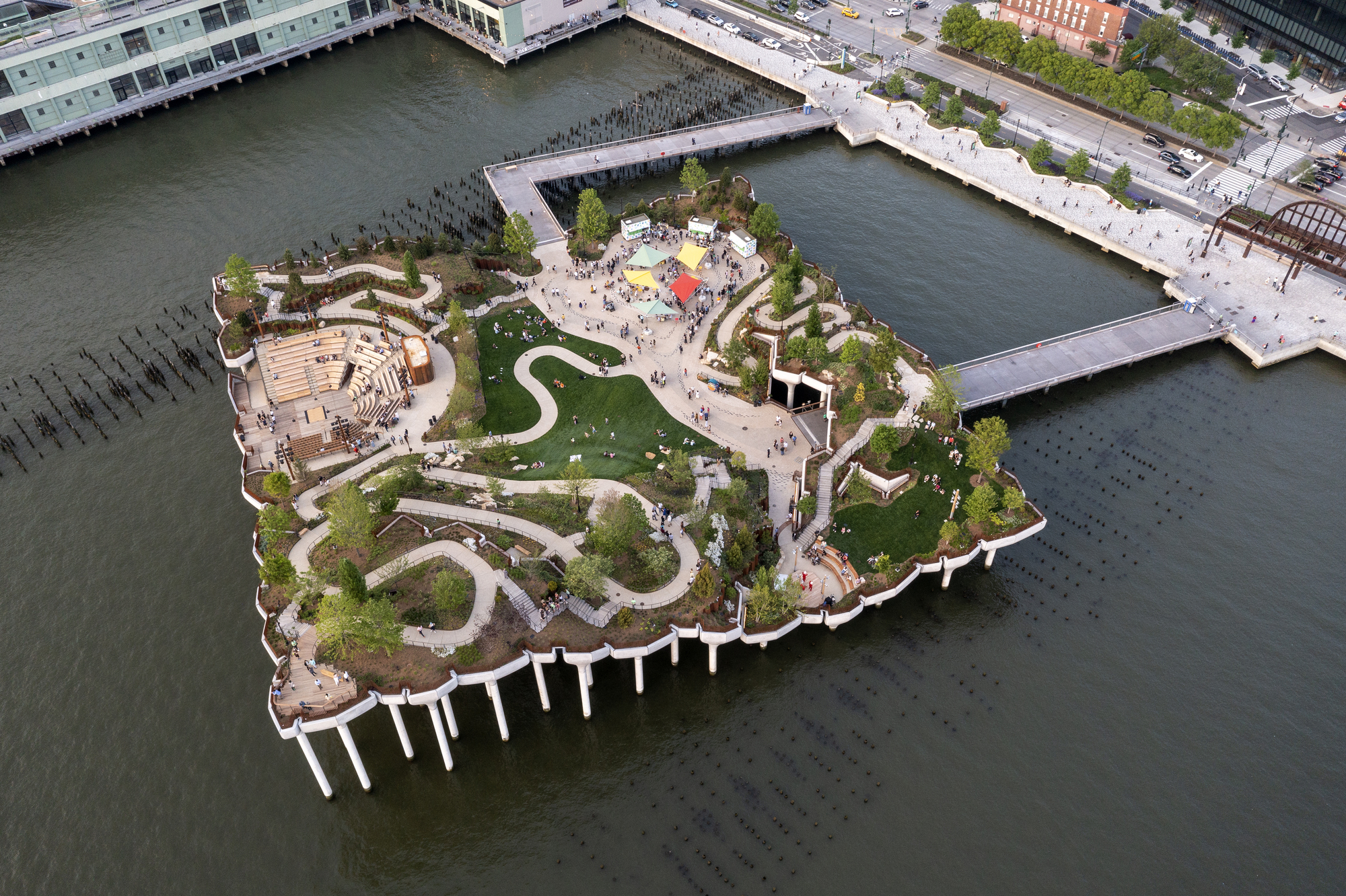 Little IslandIslet · 1435 yd