What is recorded here
In level, poorly drained pasture, at the edge of the Dock Road M18 interchange in Limerick city. Not depicted on OS historic mapping. Identified as a semi-circular shaped cropmark visible on aerial photograph (ASIAP). Visible as a semi-circular-shaped cropmark today on Google Earth orthophoto taken 28/06/2018. The aerial photographic evidence suggests the remains of a possible levelled enclosure. Could be related to post-1700 land reclamation works.
See attached Google Earth orthoimage taken 28/06/2018.
Compiled by: Alison McQueen and Vera Rahilly
Date of upload: 26 June 2020
The monument record does not grant public access. Check the route and ask the landowner before entering private land.
- What survives
- Recorded monument
Places near here
 Skehacreggaun Ho. (in ruins)House, 17th century · 637 yd
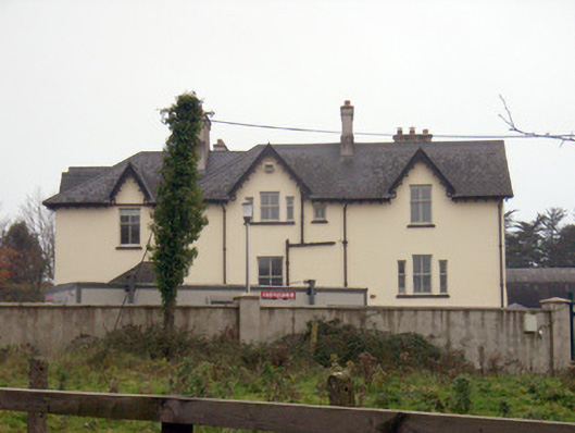 Templemungrethouse · 748 yd
 Man-made underground passage in SkehacreggaunMan-made underground passage · 900 yd
 ToberpatrickHoly well · 1255 yd
 Coonagh NatureNature reserve · 1.3 mi
 Coreen Castle (in ruins)Castle, unclassified · 1.4 mi
 Limerick Seamen's MemorialMemorial · 2.0 mi
 Saint John Paul IIMemorial · 2.1 mi
 Castle Blake or Farranshone (Site of)Castle, unclassified · 2.4 mi
 Muckinish PointHeadland · 2.6 mi
 Fountain SculptureHeritage attraction · 4.7 mi
 Visitor CentreVisitor information · 4.7 mi