What is recorded here
On level ground, near the base of a W-facing slope of a ridge. The enclosure is levelled with only a faint arc (C 16m) of raised ground visible. Indicated on the 1914 OS 6-inch map as a hachured arc of bank (C c. 25m) W-E, possibly the N half of a circular enclosure.
The above description is derived from the published 'Archaeological Inventory of County Sligo' compiled by Ursula Egan, Elizabeth Byrne, Mary Sleeman with Sheila Ronan and Connie Murphy (Dublin Stationery Office, 2005).
Date of upload: 18 January 2008
The monument record does not grant public access. Check the route and ask the landowner before entering private land.
- What survives
- Recorded monument
Places near here
 Castle BaldwinCastle · 546 yd
 Castlebaldwincastle/fortified house · 547 yd
 Fulacht fia in Bellanagarrigeeny OR CastlebaldwinFulacht fia · 552 yd
 Tober BrideHoly well · 783 yd
 Annaghgowla IslandIslet · 1620 yd
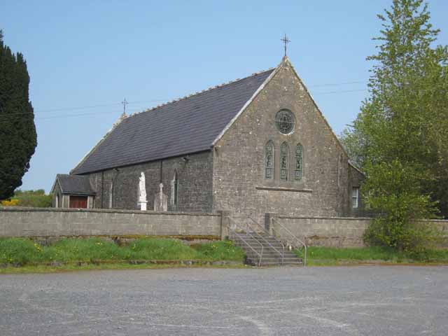 Saint Patrick's Catholic Churchchurch/chapel · 1744 yd
 TumulusCastle, motte · 1.4 mi
 InishmoreIslet · 1.4 mi
 Bricklieve MountainsMountain / peak · 1.6 mi
 Treanscrabbagh caveCave · 1.9 mi
 Carricknahorna EastMountain / peak · 2.1 mi
 Loughbrick BayBay · 2.6 mi