What is recorded here
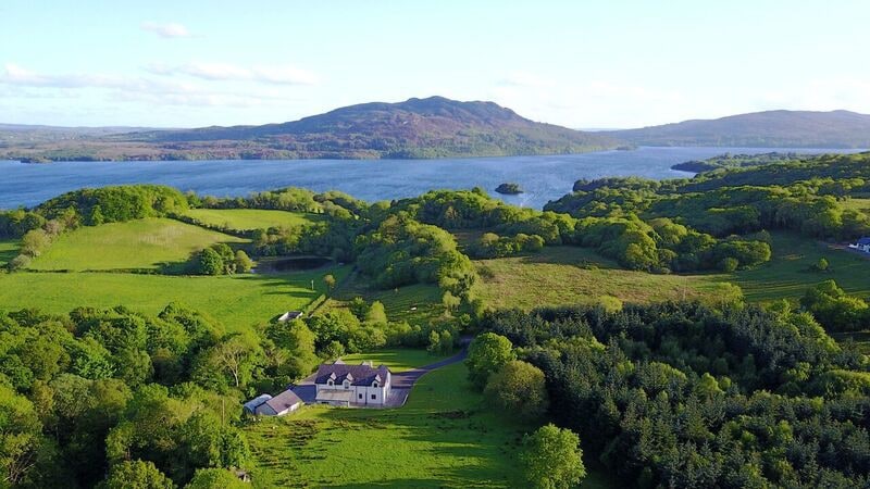
On a former island, named ‘Inishbeg’ on the 1837 OS 6-inch map and ‘Inishcullion’ on the 1913 edition, now connected to the mainland at N by an expanse of flat salt-marsh/grassland. On a level, elevated area at the NE edge of the island, there is a small rectangular enclosure (6m NNW–SSE; 5m ESE–WSW) defined on S,W, N sides by the low, slight remains of a sod-covered stone bank/wall (Wth 0.4-0.6m; H 0.15m). On the E side it is defined by a natural scarp (H 1.2m) which drops to the shoreline.
Compiled by: Jane O'Shaughnessy
Date of upload: 13 August 2014
The monument record does not grant public access. Check the route and ask the landowner before entering private land.
- What survives
- Recorded monument
Places near here
 IndicatedEnclosure · 164 yd
 Kiln in BreeogeKiln · 1022 yd
 Silver and Lead Mine (Disused)Mine · 1421 yd
 Enclosure in KilmacowenEnclosure · 1463 yd
 CarrigeenfaddaIslet · 1599 yd
 CastleCastle, unclassified · 1708 yd
 RinnatalleenHeadland · 1.7 mi
 Carrowmore Visitors CentreVisitor information · 1.9 mi
 SlievewardMountain / peak · 2.0 mi
 Castle (in Ruins)Castle, unclassified · 2.0 mi
 Carrowmore Megalithic CemeteryHeritage attraction · 2.0 mi
 The GlenWood · 2.1 mi
Other information
Photo: Credit not shown in the picture search · Rights wording not checked; contact us if this picture should be removed