What is recorded here
Enclosure in Breaghwy (tirawley By.) is a lost circular hollow on a Mayo drumlin, mapped in 1830 but erased from the later survey and now hidden beneath pasture. It may have been a dwelling, a boundary marker, or a place for ritual, yet no wall or bank remains to prove which. The landowner still remembers its steep, bowl-shaped sides, suggesting human hands shaped the earth before forgetting or farming removed the proof.
In pasture, located on a low hill/drumlin, with excellent views S–NW.
This enclosure is not shown on the 1838 OS 6-inch map; it is shown as a circular hachured enclosure (diam. c. 15m) on the 1830 edition. There is no visible trace at ground level. According to the landowner there was a circular hollow (diam. c. 10m) with steeply sloping sides and a concave or bowl-shaped profile at this location; it did not have an enclosing bank or wall. There is a rath (MA039-028----) 190m to E and another (MA039-029----) 130m to SSE.
Compiled by: Jane O’Shaughnessy
Date of upload: 27 January 2020
This remains an important historical record, but the official description says the monument is no longer visible or has been destroyed. The monument record does not grant public access. Check the route and ask the landowner before entering private land.
- What survives
- No visible remains or recorded as destroyed
Places near here
 IndicatedFairy fort / earthen ringfort · 482 yd
 Enclosure in BallyholanEnclosure · 1.4 mi
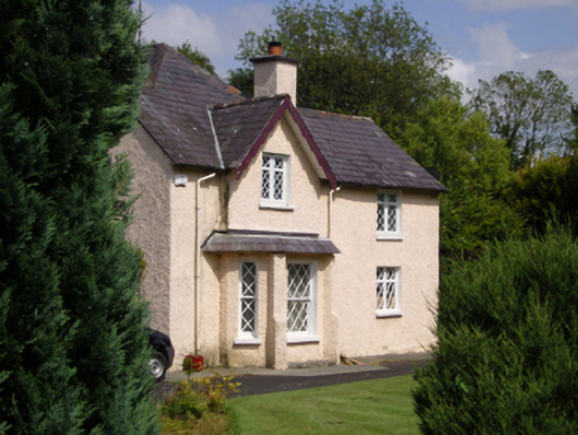 Woodbine Househouse · 1.8 mi
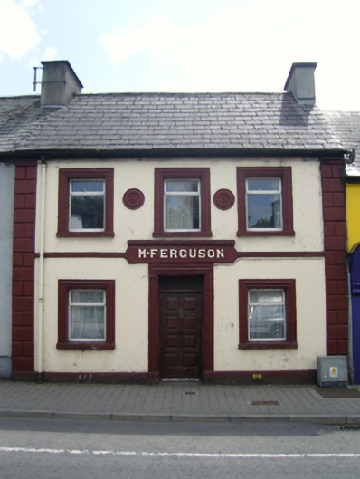 M. Fergusonhouse · 1.8 mi
 CastleCastle, unclassified · 2.0 mi
 Belleck CastleCastle, unclassified · 2.2 mi
 Humbert MonumentMemorial · 2.3 miBattle of Ballinabattle · 2.7 mi
 The Marshall Doran CollectionGallery · 3.0 mi
 FloretteWreck · 3.1 mi
 Belleek WoodsWood · 3.1 mi
 Gull IslandIslet · 3.2 mi