What is recorded here
In tillage. An irregular oval enclosure (dims. c. 57m NW-SE; c. 52m NE-SW) identified as a cropmark on Google Earth Pro imagery (imagery date 14 July 2018) by Jean-Charles Caillère, Simon Dowling and Edward O'Riordan. A smaller roughly oval enclosure (KK024-142----), also identified as a cropmark, is located c. 130m to the W.
See attached photograph:
KK024-143----_01 Image ©2019 CNEW/Airbus: Google Earth Pro satellite imagery (14 July 2018)
Compiled by: Jean Farrelly
Date of upload: 6 January 2020
The monument record does not grant public access. Check the route and ask the landowner before entering private land.
- What survives
- Recorded monument
Places near here
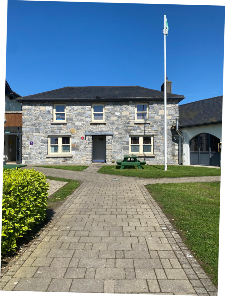 Enclosure in Bramblestown,neighamEnclosure · 619 yd
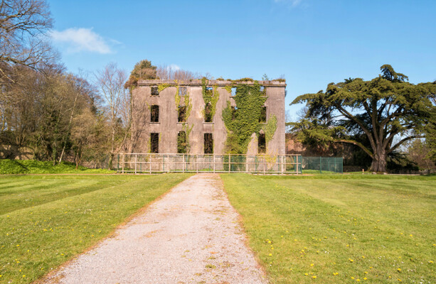 Enclosure in BramblestownEnclosure · 907 yd
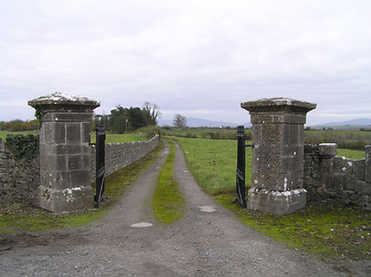 gates/railings/wallsgates/railings/walls · 958 yd
 Red BogForest · 1073 yd
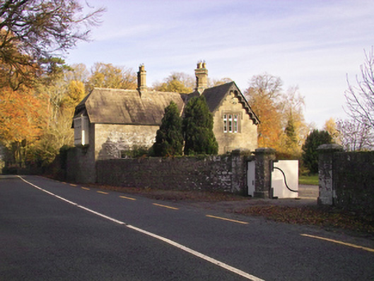 Gowran Castlegate lodge · 1392 yd
 IndicatedBawn · 1633 yd
 Neigham CastleCastle, tower house · 1643 yd
 The Pey FieldForest · 1.8 mi
 Tullaherin Church and Round TowerVisitor information · 2.8 mi
 Kilbline GraveyardArchaeological place · 3.8 mi
 Time CapsuleMemorial · 4.5 mi
 St. Mogarra’s WellSpring · 5.8 mi