What is recorded here
Bracklagh enclosure vanished from a Cavan drumlin hilltop, leaving only a small scarp and a local memory of a fort. Davies recorded that tradition in 1945, but the earth has since smoothed the place from human sight. What remains is a hilltop claim, perhaps a boundary, perhaps a home, now buried under grass and time.
Not marked on any OS ed. Davies (ITA Survey 1945) recorded a local tradition of a 'fort' at this location. He identified a 'small scarp' which he believed may have represented the remains of an enclosure which has since been levelled. Situated on a drumlin hilltop. Not visible at ground level.
The above description is derived from the published 'Archaeological Inventory of County Cavan' (Dublin: Stationery Office, 1995). In certain instances the entries have been revised and updated in the light of recent research.
Date of upload/revision: 22 December 2008
The monument record does not grant public access. Check the route and ask the landowner before entering private land.
- What survives
- Recorded monument
Places near here
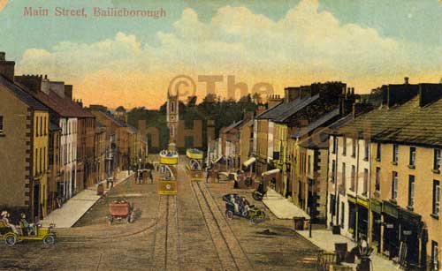 Mass-rock in Longfield (drumcarn Ed)Mass-rock · 441 yd
 CorrakeeranMountain / peak · 654 yd
 Ceremonial enclosure in NeddaiaghCeremonial enclosure · 1313 yd
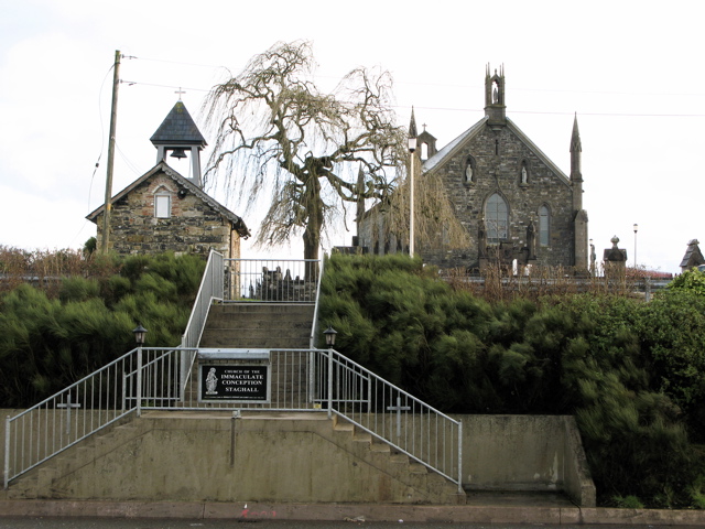 Church in MagherintempleChurch · 1609 yd
 St Mary's Roman Catholic Churchchurch/chapel · 1.1 mi
 LattacrossanMountain / peak · 1.4 mi
 Drumcarn Ho.Castle, unclassified · 1.5 mi
 Embanked enclosureBawn · 1.6 mi
 StoneparkWood · 2.8 mi
 KilloughterWood · 2.9 mi
 Giant's GraveArchaeological place · 3.0 mi
 Garden IsleIslet · 3.8 mi