What is recorded here
On a prominent rise in gently undulating pastureland. Marked as a hachured circular enclosure on the 1838 and 1933 editions of the OS 6-inch map. This very poorly preserved circular enclosure (diam. c. 40m) is defined by an earthen bank, only slight traces of which survive at N and from S to W. The interior is disturbed. A field wall, running ESE-WNW, cuts across it from NNW to NE. According to Cody (SMR file), this is a natural hillock and the disturbance relates to the trigonometrical station shown on the 1993 map.
Compiled by: Galway Archaeological Survey, UCG
Date of upload: 1 August 2019
The monument record does not grant public access. Check the route and ask the landowner before entering private land.
- What survives
- Recorded monument
Places near here
 Enclosure in BottomEnclosure · 554 yd
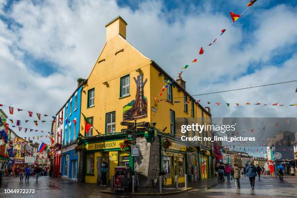 ToberconnellyHoly well · 786 yd
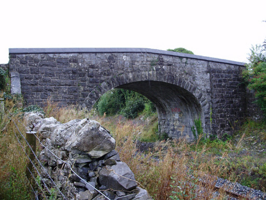 Farranablake Bridgebridge · 1367 yd
 St. Bridgets Church (in Ruins)Church · 1381 yd
 Athenry AbbeyHeritage attraction · 1.1 mi
 Athenry CastleHeritage attraction · 1.2 mi
 Castle or King Johns Court (in ruins)Castle, Anglo-Norman masonry castle · 1.2 mi
 Horse-chestnutHorse-chestnut · 1.5 mi
 Moyard WoodWood · 1.7 miFirst Battle of Athenrybattle · 2.0 mi
 Moyode CastleCastle · 2.3 mi
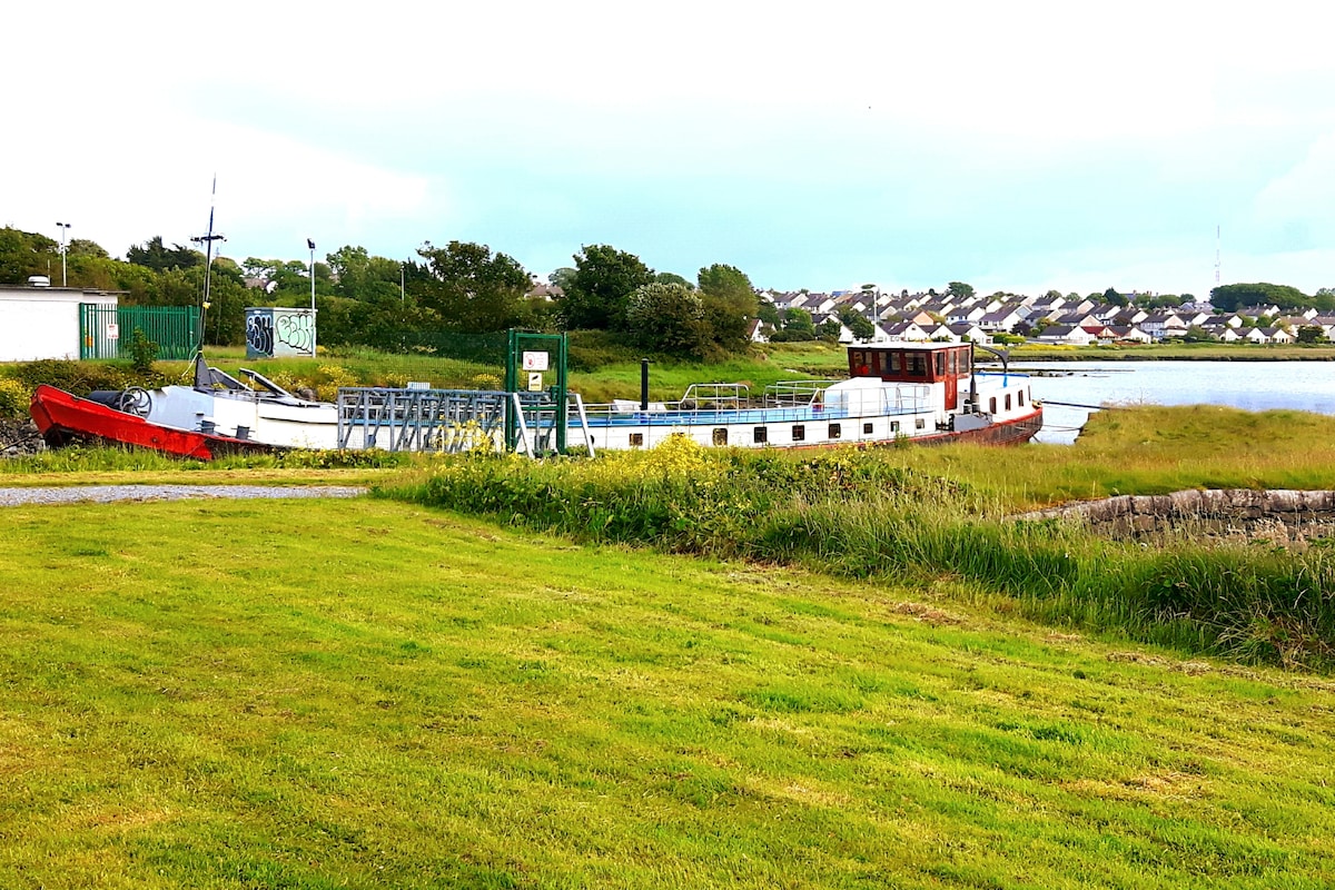 Fulacht fia in Baunmore (athenry By.)Fulacht fia · 834 yd