What is recorded here
Bonnetstown enclosure is a subrectangular shadow in pasture north of Bonnetstown castle, about seventy metres long and fifty broad. Its north edge follows an old field boundary marked in 1839-40 but absent by 1945-6, suggesting that the enclosure belonged to a working landscape rather than a forgotten ritual. The land may have held livestock, tools or ordinary human pride before the boundary disappeared.
In pasture. A subrectangular enclosure (dims. c. 70m NW-SE; c. 50m N-S) visible as a cropmark on a GSI aerial photograph (S481, 1973-7) in the field N of Bonnetstown castle (KK019-003001-). This may relate to an 18th/19th-century field system as the N side of the enclosure, running NW-SE, follows the line of a field boundary indicated on the 1st (1839-40) ed. OS 6-inch map, which had been removed by the 1945-6 revision of this map.
Compiled by: Jean Farrelly and Mary Tunney
Date of revised upload: 15 September 2020
The monument record does not grant public access. Check the route and ask the landowner before entering private land.
- What survives
- Recorded monument
Places near here
 Castle (in Ruins)Castle, tower house · 78 yd
 Bonnetstown Hallcountry house · 188 yd
 Newtown Ringfort (rath)Archaeological place · 1057 yd
 Lacken Castle (site of)Archaeological place · 1540 yd
 Graces CrossCross, Wayside cross · 1596 yd
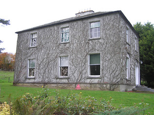 Troyswood Househouse · 1.5 mi
 Lady DesartMemorial · 1.7 mi
 European ashEuropean ash · 1.9 mi
 Paddy ButlerMemorial · 2.2 mi
 River LifeVisitor information · 2.7 mi
 The FordVisitor information · 2.7 mi
 Turkey OakTurkey Oak · 2.8 mi