What is recorded here
On flat poorly drained floodplains in upland area. This monument is depiction on 1st (1840) ed. OS 6-inch map as a small square-shaped enclosure (dims. c. 17m N-S; c. 13m E-W) on the N bank of the Bonarea stream, in a small tree plantation with a townland drain cutting through the SW sector on a NW-SE axis. On field inspection in 2001 there was no visible trace of this feature above ground.
Compiled by: Jean Farrelly
Date of revised upload: 15 June 2015
This remains an important historical record, but the official description says the monument is no longer visible or has been destroyed. The monument record does not grant public access. Check the route and ask the landowner before entering private land.
- What survives
- No visible remains or recorded as destroyed
Places near here
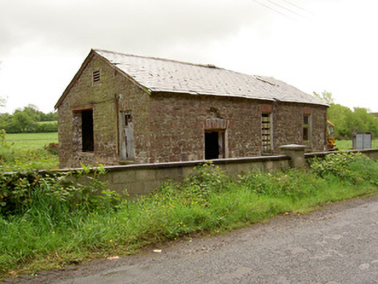 Ironmills Creamerycreamery · 1191 yd
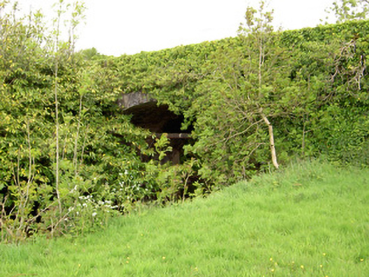 Ironmills Bridgebridge · 1314 yd
 CastleCastle, unclassified · 1480 yd
 Ballysheeda Castle (in Ruins)Castle, tower house · 1729 yd
 Ladys WellHoly well · 1.4 mi
 Green Field ParkWood · 1.4 mi
 Enclosure in Ballysheeda (donohill Par.)Enclosure · 1.5 mi
 Gortard WoodForest · 2.1 mi
 LackenacreenaMountain / peak · 4.2 mi
 GortnageraghMountain / peak · 4.4 mi
 Soloheadbeg Ambushambush · 4.6 mi
 ToberagaddySpring · 8.6 mi