
What is recorded here
Boley Great holds two buried fosse rings, one circular and one crescent-shaped, joined at the north west on a south-west slope now lost beneath tillage. The 1971 aerial photograph caught them only because crops grew differently above the hidden ditches, proving the earth still remembers the shape human hands forced into it. Similar rings appear in Rathconnellwood, suggesting this was not a singular experiment but a repeated local act of drawing a boundary around life itself.
On a SW slope in tillage. Visible on a 1971 aerial photograph (CUCAP BGN 18) as the cropmarks of a fosse enclosing a circular area (est. max. diam. c. 55m) and a second fosse enclosing a cresentic-shaped area (KD031-005002-) attached to the former at NW. No visible surface traces survive. Similar features (KD031-004001- and KD031-004002-) are visible on an aerial photograph in Rathconnellwood townland.
Compiled by: Gearóid Conroy
Date of upload: 01 October 2013
The monument record does not grant public access. Check the route and ask the landowner before entering private land.
- What survives
- Recorded monument
Places near here
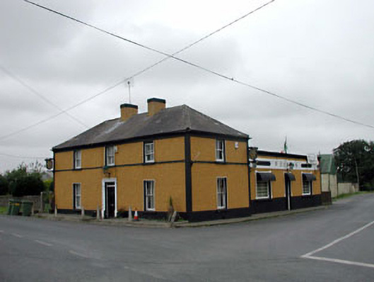 P. Conlanhouse · 651 yd
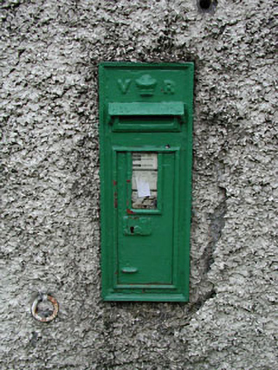 post boxpost box · 664 yd
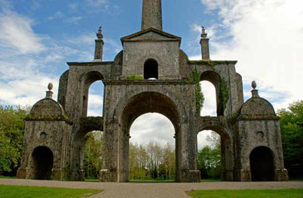 Enclosure in Boley LittleEnclosure · 1034 yd
 Enclosure in KilbogganEnclosure · 1170 yd
 CastleCastle, unclassified · 1.7 mi
 Battle of Kilrushbattle · 2.0 mi
 Site of CastleCastle, unclassified · 2.4 mi
 History of Moat of ArdscullVisitor information · 3.0 mi
 European BeechEuropean Beech · 3.0 mi
 Gorden Bennet Race memorialMemorial · 3.1 mi
 Derryvullagh IslandForest · 3.1 mi
 Burtown House and GardensHeritage attraction · 5.2 mi
Other information
Photo: Credit not shown in the picture search · Rights wording not checked; contact us if this picture should be removed