What is recorded here
On a narrow ledge of pastureland between areas of bare karst on a SSE-facing slope that extends up from low-lying pastureland, c. 700m E of the foreshore. Hachured as a circular enclosure on the 1842 OS 6-inch map. The narrow ledge of pastureland (Wth c. 10m) is defined along the W side by a single wall of large blocks of stone on a limestone terrace and elsewhere by large transversely laid blocks. The area is much overgrown with thorn and briar.
Compiled by: Mary Tunney and Ros Ó Maoldúin
Date of upload: 2 December 2020
The monument record does not grant public access. Check the route and ask the landowner before entering private land.
- What survives
- Recorded monument
Places near here
 mausoleummausoleum · 624 yd
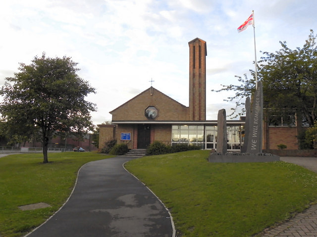 IndicatedEnclosure · 717 yd
 Enclosure in Muckinish WestEnclosure · 727 yd
 Shanmuckinish CastleCastle, tower house · 1.1 mi
 Moneen MountainMountain / peak · 1.1 mi
 Ballyvaghan Castle (in ruins)Castle, unclassified · 1.4 mi
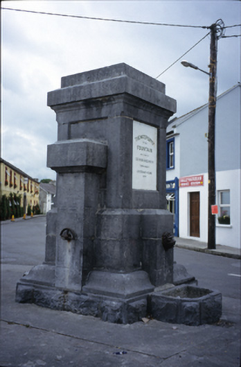 Ballyvaghan Fountainfountain · 1.5 mi
 Muckinish PointHeadland · 1.6 mi
 Rine PointHeadland · 1.8 mi
 Battle of Lough Raskabattle · 2.2 mi
 Saint Patrick's ChurchHeritage attraction · 2.3 mi
 The Russell GalleryGallery · 2.5 mi