What is recorded here
A series of four shallow circular depressions is located on the SE edge of Beginish Island, midway between Cruppaunroe and Canroe, just below the last modern field boundary. Two depressions at N occur 2.4m apart and a further two, located 12m to S, are set 6m apart.
(3) KE079-057002-; The SE depression is poorly defined and has an overall diameter of 2.9m. Its interior is largely filled with beach stones.
The above description is derived from A. O'Sullivan and J. Sheehan (compilers), 'The Iveragh peninsula: an archaeological survey of South Kerry'. Cork University Press (1996), no. 1478. In certain instances the entries have been revised and updated in the light of recent research.
Date of upload: 1 August 2013
The monument record does not grant public access. Check the route and ask the landowner before entering private land.
- What survives
- Recorded monument
Places near here
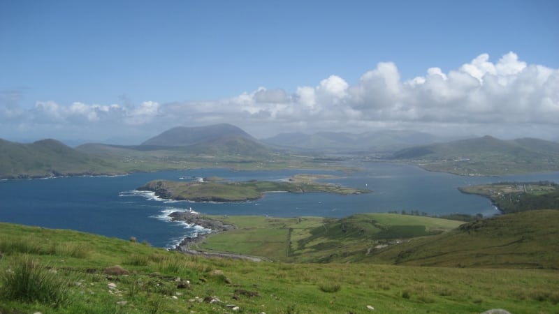 Enclosure in Beginish (iveragh By.)Enclosure · 10 yd
 Beginish IslandIsland · 338 yd
 Church in Beginish (iveragh By.)Church · 352 yd
 Field system in Beginish (iveragh By.)Field system · 967 yd
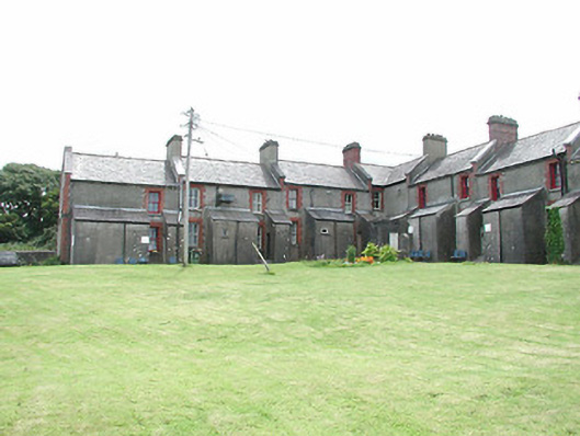 coastguard stationcoastguard station · 1130 yd
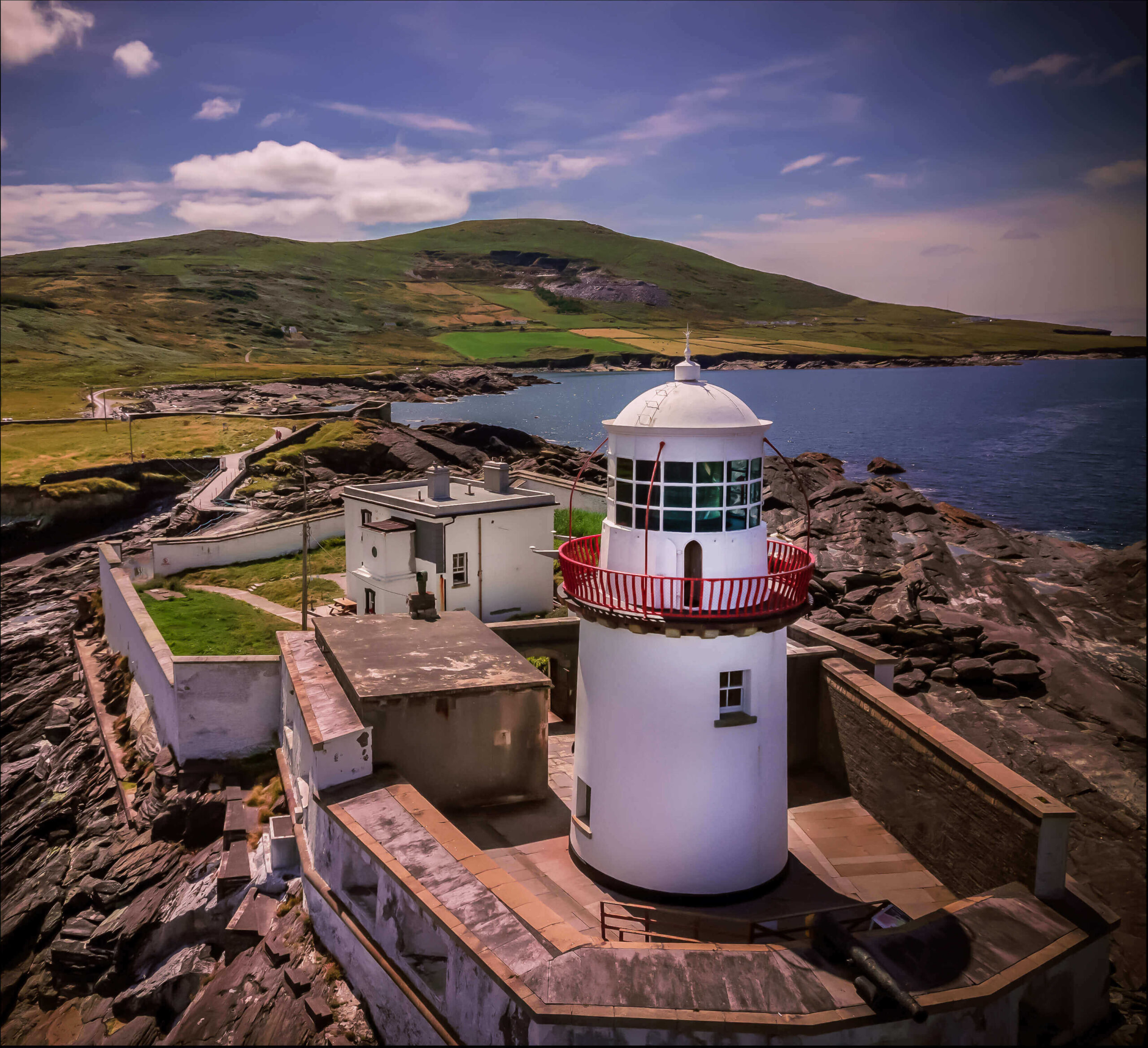 Valentia Island LighthouseMuseum · 1.0 mi
 Cromwell PointHeadland · 1.0 mi
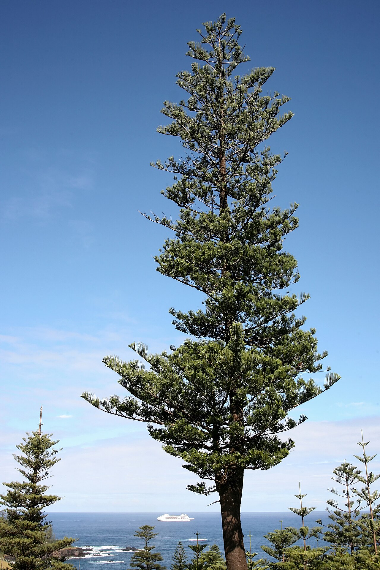 Norfolk Island AraucariaNorfolk Island Araucaria · 1.1 mi
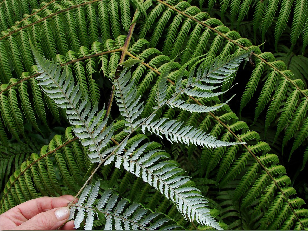 Silver tree fernSilver tree fern · 1.1 mi
 White Strand BeachBeach / strand · 1.1 mi
 Kilbeg MountainMountain / peak · 1.2 mi
 Killelan MountainMountain / peak · 1.6 mi