What is recorded here
In improved pasture, on a gentle S-facing slope. A levelled circular rise (dims. 40m E-W; 38m N-S) defined by a short portion of bank (Wth at top 1m; overall Wth 6.6m; int. H 1.1m; ext. H 1.4m) at N and remains of a backfilled fosse (basal Wth 1m; overall Wth 14m; D 0.5m) best preserved WSW-N-ESE. The fosse is barely seen ESE-S-WSW where the interior has been levelled into it. The interior survives as a very low rise and the monument is incorporated into the field as pasture. Until at least 1975 (Cahill) this was a well-preserved bivallate enclosure. Wheeler (OPW Files 29/10/1965) describes the enclosing elements as a bank (Wth at top 1.83m; int. H 0.61m; ext. H 4.88m), a very wide, deep fosse (basal Wth 4.57m; D 3.96m) and an outer bank (Wth at top 4.57m; int. H 3.96m; ext. H 0.61m).
Compiled by: Jean Farrelly
Date of upload: 26 August 2011
The monument record does not grant public access. Check the route and ask the landowner before entering private land.
- What survives
- Recorded monument
Places near here
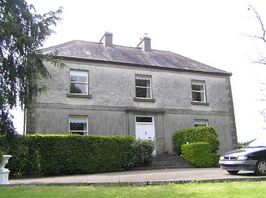 Oakfield Househouse · 708 yd
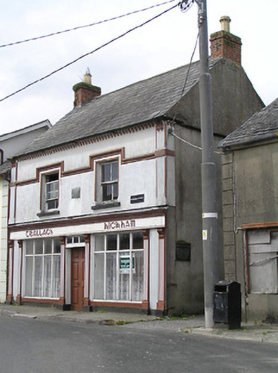 Teallach Kickhamhouse · 983 yd
 Enclosure in Modeshil (ayre)Enclosure · 996 yd
 Site of) Isertkieran ChurchChurch · 1035 yd
 St. Johns Monastery (in ruins)Castle, hall-house · 1048 yd
 Fenane WoodForest · 1.1 mi
 Silver FirSilver Fir · 1.8 mi
 Knockuragh HillMountain / peak · 2.4 mi
 Modeshil Castle (in ruins)Castle · 2.7 mi
 The SpoutMemorial · 3.3 mi
 Killamery High CrossVisitor information · 3.8 mi
 KillameryVisitor information · 3.8 mi