
What is recorded here
Situated on a gentle SE-facing slope with a small canalised WSW-ENE stream c. 130m to the S. The cropmark of a subcircular area (dims c. 30m N-S; c. 25m E-W) defined by a single continuous and fairly wide fosse (Wth c. 3m) is visible only on Aerial Premium (2013-18). There is a single pit at the centre. It was first reported by Jean Charles Caillére.
See the attached enhanced view from Aerial Premium (2013-18)
Compiled by: Michael Moore
Date of upload: 21 February 2022
The monument record does not grant public access. Check the route and ask the landowner before entering private land.
- What survives
- Recorded monument
Places near here
 Wych ElmWych Elm · 406 yd
 Enclosure in BectiveEnclosure · 453 yd
 Small-leaved ElmSmall-leaved Elm · 552 yd
 Gate LodgeRuins · 559 yd
 Clady ChurchChurch · 984 yd
 Font (present location) in BalbradaghFont (present location) · 1075 yd
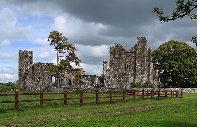 IndicatedCastle, tower house · 1297 yd
 Trubley CastleCastle, tower house · 1.1 mi
 Battle of Tara (Ireland)Major battlefield · 4.3 mi
 Battle of Tara Hillbattle · 4.3 mi
 Saint Patrick'sMemorial · 4.3 mi
 Hill of TaraVisitor information · 4.4 mi
Other information
Photo: Credit not shown in the picture search · Rights wording not checked; contact us if this picture should be removed