What is recorded here
Situated on a slight rise in undulating terrain. Beakstown castle is mentioned in Civil Survey as 'the Castle out of repaire in Beakestown' (Simington 1931, vol. 1, 66). Beakstown is also mentioned in the Tipperary Depositions that document a year-long siege there by Confederate forces in the 1640s (Cairns 1987, 24). 'Beakstown House' is a ruined shell dating to the nineteenth century. It is a two-storey, four-bay house with the S bay projecting out. The roof is largely intact. The house is said by locals to have been a workhouse and there is no tradition of a castle (TN047-008001). A raised area NE of the house, depicted on the 1952-3 OS 6-inch map may have been some form of garden feature/enclosure or may be the location of the castle. A chamfered jamb incorporated in doorway of the 'Old Corn Mill' on the 1st ed. OS 6-inch map may have come from Beakstown Castle.
The above description is derived from 'The Archaeological Inventory of County Tipperary. Vol. 1 - North Tipperary' compiled by Jean Farrelly and Caimin O'Brien (Dublin: Stationery Office, 2002). In certain instances the entries have been revised and updated in the light of recent research.
Date of upload/revision: 22 September 2008
The monument record does not grant public access. Check the route and ask the landowner before entering private land.
- What survives
- Recorded monument
Places near here
 Beakstown HouseCastle, unclassified · 31 yd
 Beakstown Mills (disused)Water mill, unclassified · 132 yd
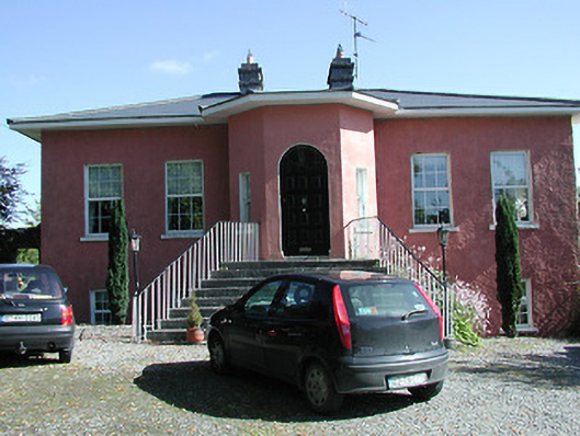 Beakstown Cottagehouse · 161 yd
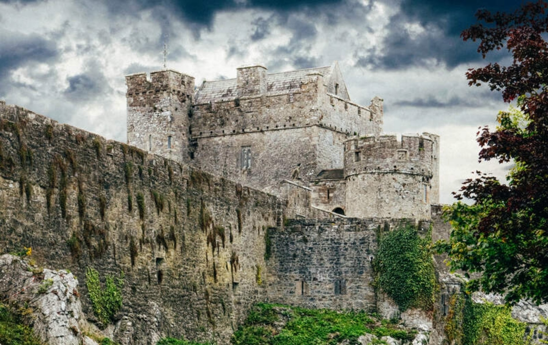 Castle (Site of)Castle, unclassified · 959 yd
 Abbey WellHoly well · 1367 yd
 Cormackstown Heritage CentreMuseum · 1569 yd
 Black FortFairy fort / earthen ringfort · 1606 yd
 Wildlife CorridorWood · 2.5 mi
 WoodlandWood · 2.8 mi
 Lár na PáirceMuseum · 2.9 mi
 Killough Hill (site of)Mountain / peak · 3.0 mi
 KnockaneMountain / peak · 4.9 mi