What is recorded here
The partial remains of an irregular shaped enclosure surrounding church (LH021-031001-) were noted when inspected by ASI in 1966. Bank survives from NNW-N-E and is composed of earth and stone. There is a gentle curve in the bank. From SSW-W-NNW it is demarcated by a scarping of the natural slope.
Compiled by: Claire Breen
Date of upload: 17 July 2012
The monument record does not grant public access. Check the route and ask the landowner before entering private land.
- What survives
- Recorded monument
Places near here
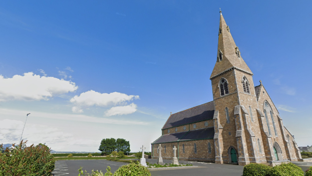 Church (in Ruins)Church · 9 yd
 Man-made underground passage in BawntaaffeMan-made underground passage · 116 yd
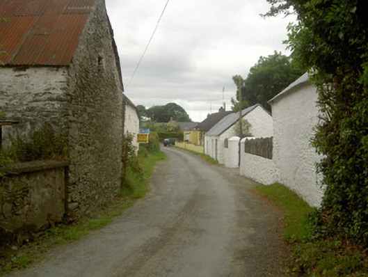 outbuildingoutbuilding · 371 yd
 MonasterboiceEarly monastic site · 1225 yd
 Stone CrossesCross, High cross · 1245 yd
 Muiredach's High CrossHeritage attraction · 1278 yd
 BarabonaMountain / peak · 1.5 mi
 Drummond TowerCastle · 1.9 mi
 CastleCastle, unclassified · 2.2 mi
 Black HillMountain / peak · 2.9 mi
 Pedunculate OakPedunculate Oak · 3.1 mi
 Quarry Garden WoodForest · 3.2 mi