What is recorded here
Outline of circular-shaped enclosure (approx. diam. 45m) visible on Digital Globe aerial imagery. The outline of the enclosure is clearly visible on Google Earth aerial imagery taken 10/06/2015. Possible enclosure (WI028-033----) 200m to S.
See attached image taken from Google Earth dated 10/06/2015
Compiled by: Caimin O'Brien based on details provided by Paul Daly
Date of upload: 9 May 2020
The monument record does not grant public access. Check the route and ask the landowner before entering private land.
- What survives
- Recorded monument
Places near here
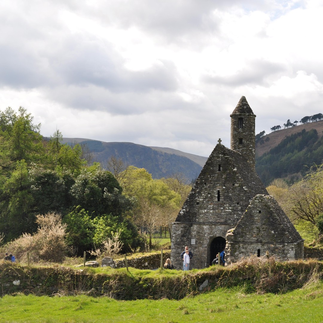 ToberowenHoly well · 831 yd
 Enclosure in Cornan WestEnclosure · 886 yd
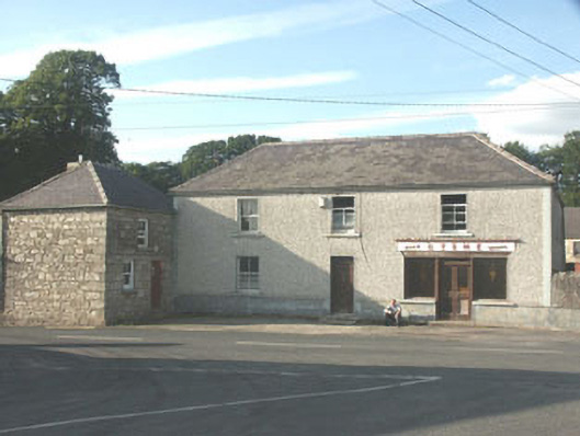 Byrnehouse · 911 yd
 CastleCastle, motte · 1.0 mi
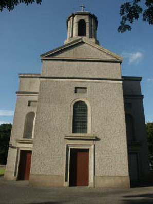 Saint Mary's Catholic Churchchurch/chapel · 1.1 mi
 SlievereaghMountain / peak · 1.6 mi
 Keadeen MountainMountain / peak · 2.1 mi
 Sessile OakSessile Oak · 2.1 mi
 Dwyer McAllister CottageMuseum · 2.5 mi
 Chapel (in ruins), GraveyardChurch · 2.9 mi
 Castle in ruinsCastle, unclassified · 3.2 mi
 European BeechEuropean Beech · 3.4 mi