What is recorded here
Situated on a NE-facing slope in gently rolling terrain, in pasture with the possible site of a tower house and bawn (TN017-067001/003) c. 42m to the NW. Identified as a large oval enclosure (c. 30m x 40m) on an aerial photograph taken in 1973 (GSIAP, S 81/80). Not visible at ground level. Field boundaries S and E of this site have been levelled since the aerial photograph was taken.
The above description is derived from 'The Archaeological Inventory of County Tipperary. Vol. 1 - North Tipperary' compiled by Jean Farrelly and Caimin O'Brien (Dublin: Stationery Office, 2002). In certain instances the entries have been revised and updated in the light of recent research.
Date of upload/revision: 22 September 2008
The monument record does not grant public access. Check the route and ask the landowner before entering private land.
- What survives
- Recorded monument
Places near here
 Castle (in Ruins)Bawn · 28 yd
 Black HillMountain / peak · 815 yd
 Church in Bawnmadrum NorthChurch · 841 yd
 Man-made underground passage in BoolareaghMan-made underground passage · 1331 yd
 Carricknasrock WoodWood · 1682 yd
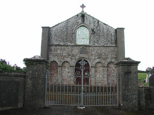 Saint Patrick's Catholic Chapelchurch/chapel · 1.1 mi
 Man-made underground passage in Cullahill (bourney Par.)Man-made underground passage · 1.4 mi
 Castle in ruinsHouse, fortified house · 3.2 mi
 European BeechEuropean Beech · 3.7 mi
 Roscrea Petty Sessions HouseHeritage attraction · 4.5 mi
 College HillMountain / peak · 5.5 mi
 The Rectoryrectory/glebe/vicarage/curate's house · 1.3 mi