What is recorded here
Toward the bottom of a S-facing slope in pasture. Hachured on the OS 25-inch plan (1897) where it is recorded as a raised D-shaped area (est. diam. c. 33m NW-SE) with a straight side along the N (est. L c. 29m) along the base of which, outside to N, a later field boundary wall runs. Recorded similarly on the later, Cassini edition (1920) of the OS 6-inch map. Not visible at ground level when inspected in 1999, but traces of a scarp can be seen in satellite imagery (MapGenie Digital Globe 2011-13; MapGenie 2013-18) from SE-S-SW.
Compiled by: Gearóid Conroy and Conn Herriott
Date of upload: 29-10-2025
A local fairy fort (ringfort/rath); wider significance not recorded.
The monument record does not grant public access. Check the route and ask the landowner before entering private land.
- What survives
- Recorded monument
Places near here
 Rock IslandIsland · 571 yd
 ToberinneenboyHoly well · 676 yd
 Inchiquin IslandIslet · 772 yd
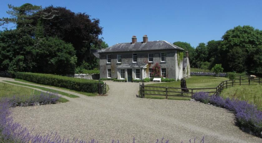 IndicatedCastle, tower house · 781 yd
 Clare Heritage Centremausoleum · 1054 yd
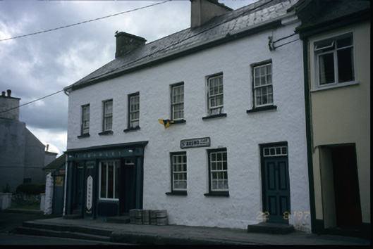 P. Crowleyhouse · 1065 yd
 CrossCross, Tau Cross (present location) · 1076 yd
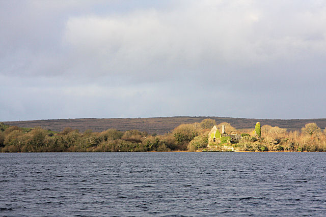 Inchiquin Castle (in ruins)Castle, tower house · 1223 yd
 Fergus River CaveCave · 2.4 mi
 Battle of TullyodeaBattlefield · 2.8 mi
 Burren National ParkVisitor information · 3.6 mi
 Ballygriffy WoodWood · 4.3 mi
Other information
Photo: Credit not shown in the picture search · Rights wording not checked; contact us if this picture should be removed