What is recorded here
From the National Monuments Service (Archaeological Survey of Ireland) record DU015-120
Places near here
Photo credits
- Maker not stated on source page, www.tripadvisor.ie
- Maker not stated on source page, commons.wikimedia.org
- Maker not stated on source page, www.wildernessireland.com
- National Inventory of Architectural Heritage
- Maker not stated on source page, www.dreamstime.com
- Kmcnamee, Wikimedia Commons · CC BY-SA 4.0
- Maker not stated on source page, en.wikipedia.org
- David Dixon, Geograph · CC BY-SA 2.0
- Darrin Antrobus, Geograph · CC BY-SA 2.0
- Maker not stated on source page, za.pinterest.com
 Church in MiddletownChurch · 748 yd
Explorer Tom Church in Middletown was ploughed up in the 1820s, which is just rude. They used the tombstones to cover drains! It was…
 Earthwork in MiddletownEarthwork · 748 yd
Explorer Tom Earthwork in Middletown is a duplicate site, which means it’s been copied so many times that it has lost all sense of…
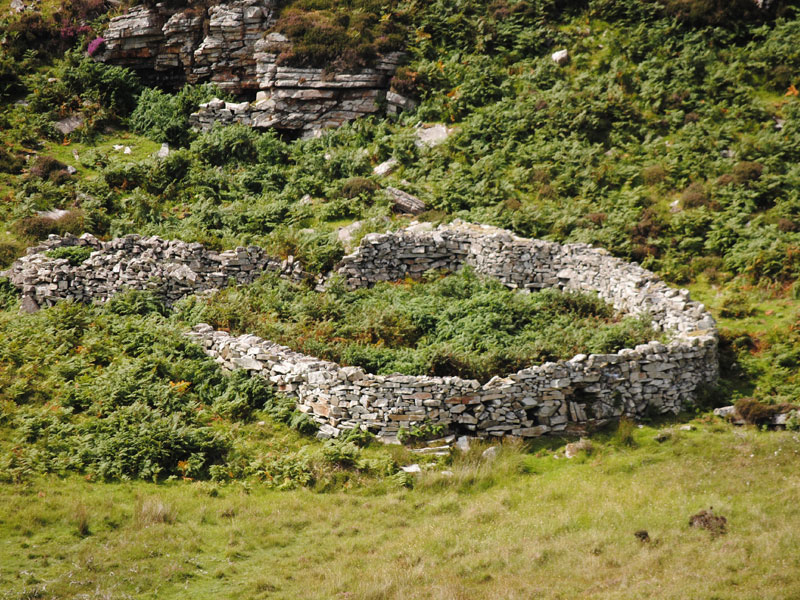 Fairy fort / ringfort in SpringhillFairy fort / ringfort · 1462 yd
Explorer Tom Fairy fort / ringfort in Springhill. A plough-damaged ringfort with an entrance to the east and occupation pits inside.…
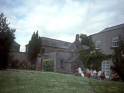 SpringhillHouse · 1623 yd
Explorer Tom Springhill in Springhill is a U-plan show-off from the early 1800s. It’s got wings everywhere, like it was trying to…
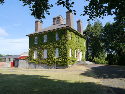 Woodlands HouseCountry house · 1674 yd
Explorer Tom Woodlands House on Clonshaugh Road was built for a vicar who probably spent more time arguing about chimneys than…
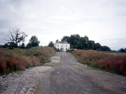 Belcamp HouseHouse · 1702 yd
Explorer Tom Belcamp House in Belcamp was demolished in 2001, so it’s basically a ghost story now. It had an Ionic portico and bow…
 Cloghran CemeteryCemetery · 1.0 mi
Explorer Tom Cloghran Cemetery has been in a bitter feud with the next village over who invented the best potato dish, which is daft…
 Clonslaugh Pitch, Craobh Chiaráin GAAGAA ground · 1.1 mi
 Dardistown CemeteryCemetery · 1.1 mi
Explorer Tom Dardistown Cemetery would definitely post a selfie with the caption 'Resting, not sleeping' if it had social media…
 Airways Industrial EstateVisitor information · 1.6 mi
Explorer Tom Airways Industrial Estate in County Dublin has the wind picking on it because it refuses to admit it’s just a pile of…
 Airside Retail ParkVisitor information · 1.7 mi
Explorer Tom Airside Retail Park has a New Year's resolution to stop pretending it’s an airport and just admit it’s a big car park…
 The Dark WoodMural · 2.2 mi
Explorer Tom The Dark Wood mural looks spookier than it needs to be for a sunny day. I bet there’s a wolf hiding behind those…
More archaeology and monuments in County Dublin · All of County Dublin

What do you know about this place?Tap to add a comment or ask a question