
What is recorded here
Situated on a gentle SW-facing slope. The cropmark of a circular area (diam. c. 50m) defined by a single feature with a wide entrance at SSE, is visible on digital aerial photographs (WA018-079_1 to _5).
Compiled by: Michael Moore
Date of upload: 30 July 2010
A local fairy fort (ringfort/rath); wider significance not recorded.
The monument record does not grant public access. Check the route and ask the landowner before entering private land.
- What survives
- Recorded monument
Places near here
 Embanked enclosureFairy fort / ringfort · 452 yd
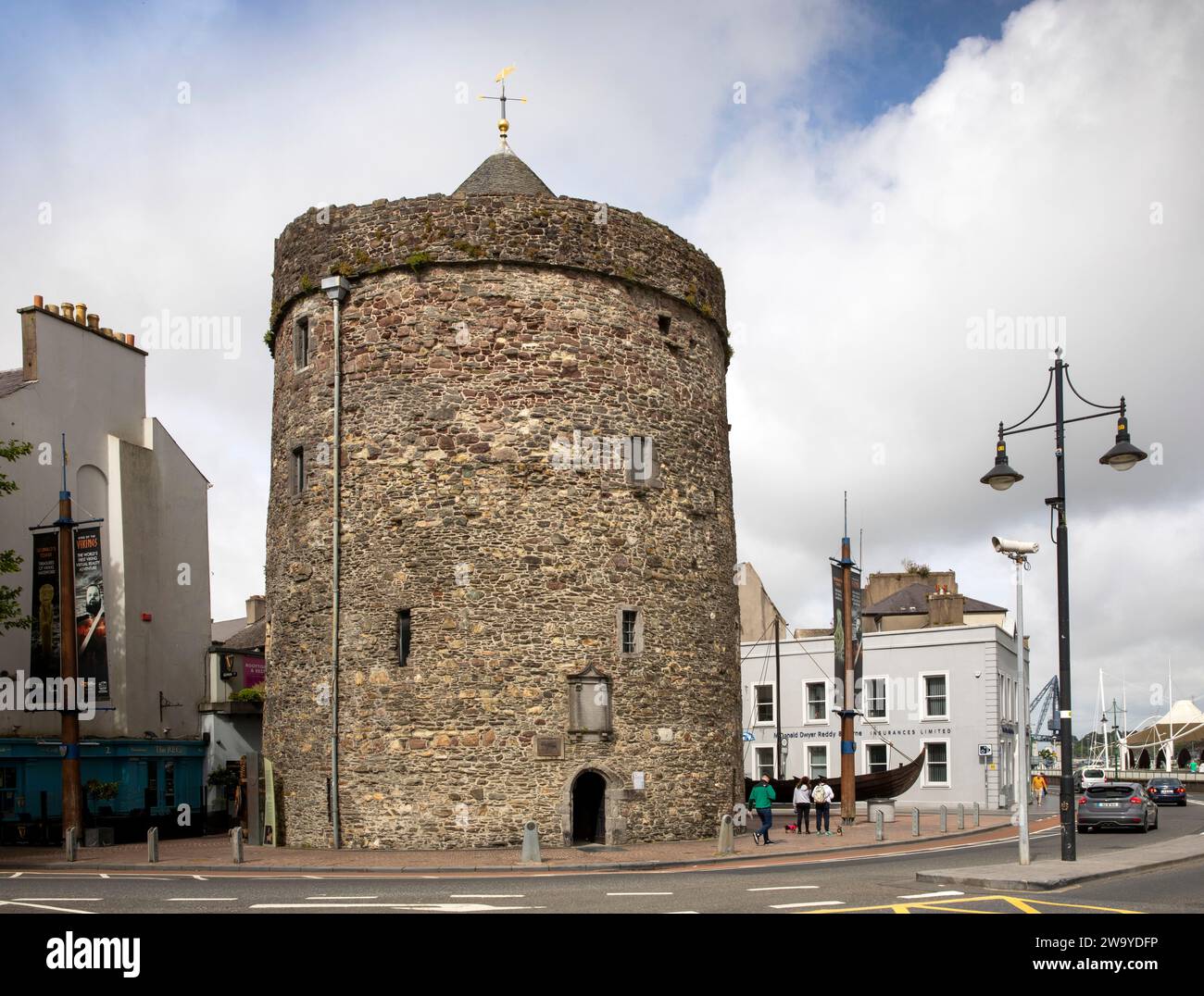 Enclosure in BallyvoreenEnclosure · 546 yd
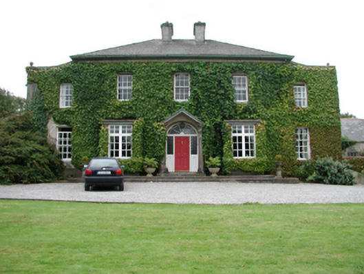 Foxmounthouse · 649 yd
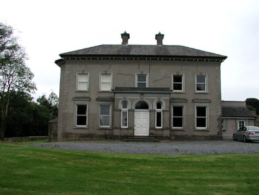 Brook Lodgehouse · 898 yd
 Castle (in ruins)Castle, tower house · 1.0 mi
 Ballinakill WoodsWood · 1.9 mi
 The Baldy ManViewpoint · 5.8 mi
 Memory of the crew of "Rescue 111"Memorial · 6.0 mi
 Sugar Loaf RockMountain / peak · 6.3 mi
 Tramore Dunes WalkWalking route · 6.4 mi
 Cullen Castle (in ruins)Castle, tower house · 6.8 mi
Other information
Photo: Credit not shown in the picture search · Rights wording not checked; contact us if this picture should be removed