What is recorded here
Visible on a GSI aerial photo (N 374-5) as the cropmarks of three, small, closely associated, roughly circular enclosures (KD018-023001-, KD018-023002-, KD018-023003-). Near the top of a gentle S-facing pasture slope, formerly in tillage. There is no visible surface trace of the features.
Compiled by: Gearóid Conroy
Date of upload: 10 June 2011
The monument record does not grant public access. Check the route and ask the landowner before entering private land.
- What survives
- Recorded monument
Places near here
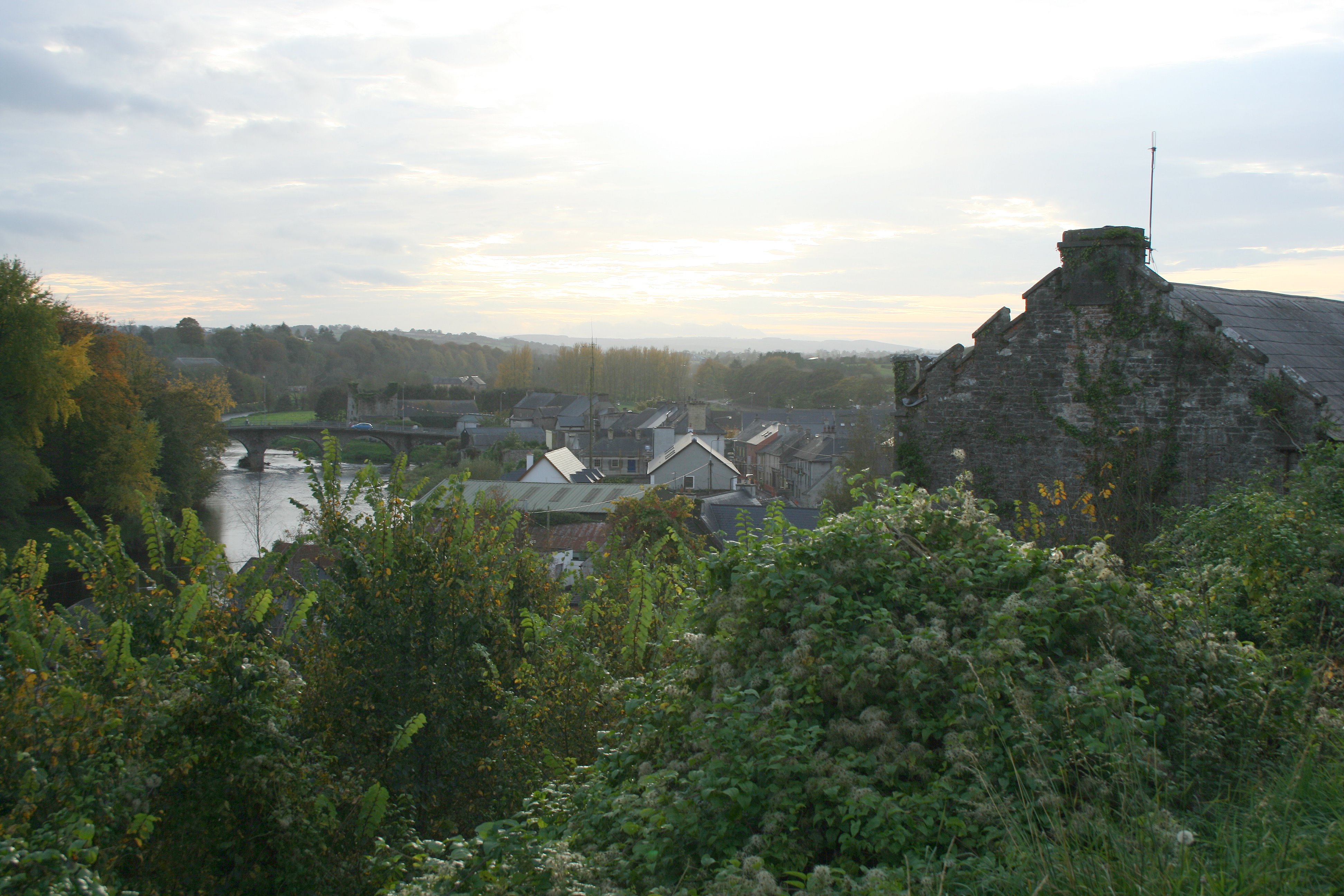 Enclosure in Thomastown (carragh Ed)Enclosure · 548 yd
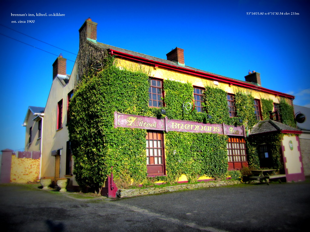 IndicatedHoly well · 747 yd
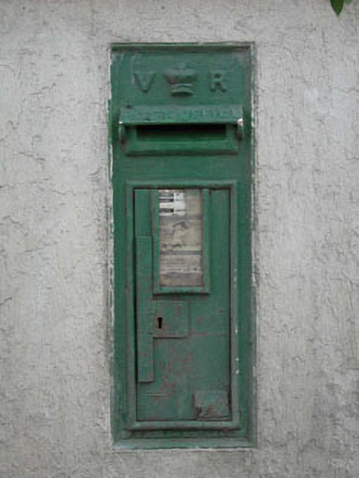 post boxpost box · 1276 yd
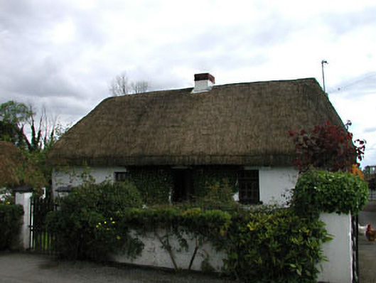 farm housefarm house · 1492 yd
 Sarsfield Castle (Site of)Castle, unclassified · 2.4 mi
 Castle RagCastle, tower house · 3.3 mi
 Newbridge SilverwareMuseum · 3.5 mi
 Grand Canal WayVisitor information · 3.9 mi
 Hill of AllenMountain / peak · 4.2 mi
 Pollardstown Fen Nature ReserveNature reserve · 4.3 mi
 Monread District Park WoodsWood · 4.5 mi
 Bithia Mary CrokerMemorial · 9.7 mi