What is recorded here
Barnhill West holds a circular enclosure and curved annexe connected by a narrow fossed track beside the ringfort. The earth has swallowed the timber and stone, but drought still draws their shadows across the farm land. People may have lived, buried or forbidden entry within those marks before the fields took them back.
Aerial photograph (GB96.GE.15) shows cropmark of a circular enclosure defined by a fosse, linked by a linear fosse to a cropmark of a curved annexe adjoining the northern side of the adjacent ringfort (KD040-021).
Compiled by: Dr. Gillian Barrett
Date of upload: 08 December 2011
The monument record does not grant public access. Check the route and ask the landowner before entering private land.
- What survives
- Recorded monument
Places near here
 IndicatedFairy fort / earthen ringfort · 88 yd
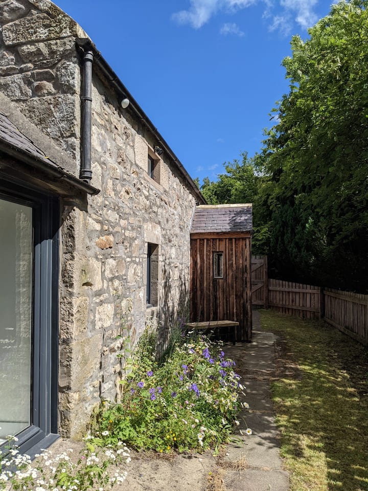 Enclosure in Barnhill EastEnclosure · 522 yd
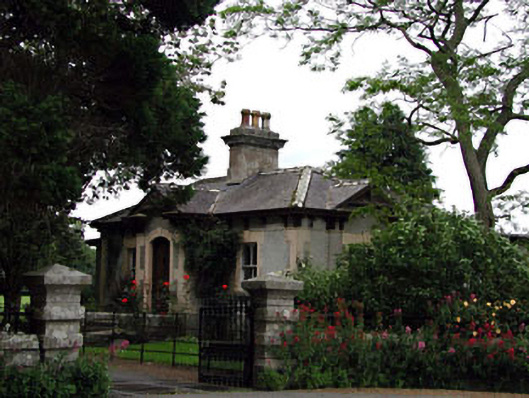 Prumplestown Housegate lodge · 1186 yd
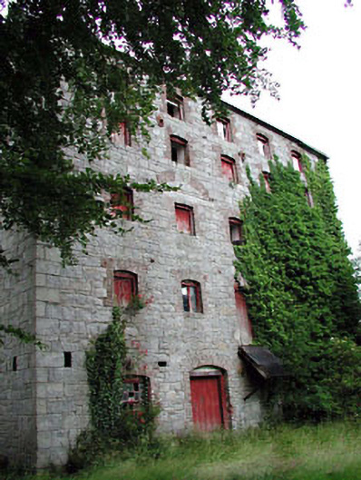 Prumplestown Millmill (water) · 1282 yd
 Gorteen MoundCastle, unclassified · 1.2 mi
 ProclamationMemorial · 1.3 mi
 Franciscan FriaryHeritage attraction · 1.3 mi
 Castledermot Round TowerHeritage attraction · 1.5 mi
 OutlinedCastle, unclassified · 2.5 mi
 Oak Park Forest ParkWood · 2.7 mi
 Lorcán Ó TuathailMemorial · 3.0 mi
 Mullaghreelan WoodForest · 3.3 mi