What is recorded here
In improved, lush pasture, on a very gentle WSW-facing slope. Identified by the Ordnance Survey (pers. com. Paul Walsh, 01/12/1994). An oval area (dims. 23m NE-SW; 20m NW-SE) defined by the slight remains of a levelled scarp (Wth 2m; H 0.25m) from NNE-SW and levelled SW-WNW. The scarp has been disturbed around the NW arc where it abuts a deep land drain to the NW. The interior is generally uneven due to cattle poaching and slopes down gently to WSW.
Compiled by: Jean Farrelly
Date of upload: 23 October 2013
The monument record does not grant public access. Check the route and ask the landowner before entering private land.
- What survives
- Recorded monument
Places near here
 Enclosure in LisheenkyleEnclosure · 1509 yd
 Enclosure in KnockphelaghEnclosure · 1.0 mi
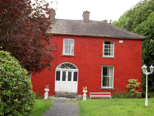 Chadville Househouse · 1.3 mi
 Soloheadbeg Ambushambush · 1.4 mi
 IndicatedCastle, unclassified · 1.6 mi
 CastleCastle, ringwork · 1.6 mi
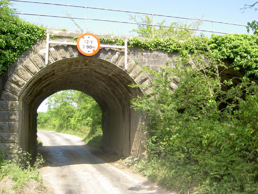 bridgebridge · 1.7 mi
 Soloheadbeg Ambush SiteMemorial · 1.8 mi
 Oola HillMountain / peak · 2.9 mi
 I.R.A. 3rd. Tipperary Brigade MemorialMemorial · 4.3 mi
 European ashEuropean ash · 4.9 mi
 KnockseefinMountain / peak · 7.8 mi