What is recorded here
In level tillage. Cropmark (AP, Dr. D.D.C. Pochin Mould) shows bivallate circular enclosure truncated by roadway to E. Entrance through inner fosse to SW; outer fosse much narrower and fainter. Power (1923, 187) mentions two lioses which have 'disappeared' in this townland (see CO076-090---). Slight trace of linear features running diagonally across field to WSW and S (CO076-103---).
The above description is derived from the published 'Archaeological Inventory of County Cork. Volume 2: East and South Cork' (Dublin: Stationery Office, 1994). In certain instances the entries have been revised and updated in the light of recent research.
Date of upload/revision: 14 January 2009
The monument record does not grant public access. Check the route and ask the landowner before entering private land.
- What survives
- Recorded monument
Places near here
 Field system in Ballyvodock WestField system · 256 yd
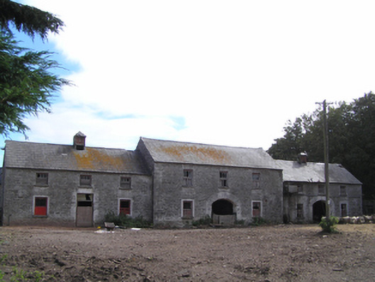 farmyard complexfarmyard complex · 905 yd
 Ecclesiastical enclosure in Ballyvodock WestEcclesiastical enclosure · 987 yd
 Gateway in BallyannanGateway · 1013 yd
 Ballyvodock Castle (in Ruins)Castle, tower house · 1116 yd
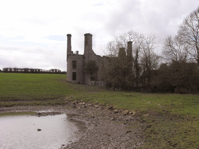 Ballyannan Castle (in Ruins)House, fortified house · 1228 yd
 Ballyannan (Bluebell) WoodsForest · 1.4 mi
 Tower WoodForest · 1.4 mi
 Noel Collins BridgeVisitor information · 1.6 mi
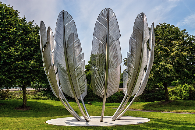 Kindred SpiritsMemorial · 1.6 mi
 Edward BransfieldMemorial · 1.9 mi
 Jameson Distillery MidletonHeritage attraction · 2.1 mi