
What is recorded here
Situated on top of a broad hill, with the estuary of the Barrow/Nore/Suir and sea-cliffs c. 100m to the SW. The cropmark of a subrectangular area (dims c. 50m NW-SE; c. 30m NE-SW) defined by a single fosse feature is visible on aerial photographs (ASIAP (101) 30-34) taken in July 2000. The cropmark of a drain extends SW to the cliff and the enclosure could be a field.
Compiled by: Michael Moore
Date of upload: 17 June, 2013
The monument record does not grant public access. Check the route and ask the landowner before entering private land.
- What survives
- Recorded monument
Places near here
 Bella Vistagates/railings/walls · 506 yd
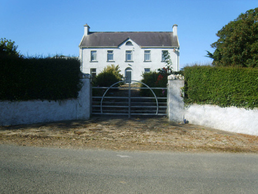 Ballystrawfarm house · 603 yd
 Carricjmore CliffCliff · 1144 yd
 DuncannonBeach / strand · 1238 yd
 Booley Bay BeachBeach / strand · 1608 yd
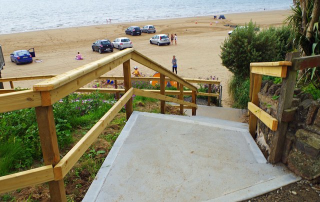 Duncannon BeachVisitor information · 1630 yd
 Enclosure in LewistownEnclosure · 1.4 mi
 Enclosure in MersheenEnclosure · 1.7 mi
 Not inidcatedBawn · 1.9 mi
 Common WhitebeamCommon Whitebeam · 2.3 mi
 Newtown HeadHeadland · 2.3 mi
 Site of CastleCastle, unclassified · 2.3 mi
Other information
Photo: Credit not shown in the picture search · Rights wording not checked; contact us if this picture should be removed