What is recorded here
Located on a SW-facing slope in a depression between two natural hillocks in undulating terrain. Indicated on both the 1st (1840) and 1901-5 eds. of the OS 6-inch maps as a small circular enclosure. The site has been levelled with only faint traces of a circular enclosure barely visible. Mis-identified as a natural hillock immediately NE of a site in the Ikerrin Survey (Stout 1984, 20).
The above description is derived from 'The Archaeological Inventory of County Tipperary. Vol. 1 - North Tipperary' compiled by Jean Farrelly and Caimin O'Brien (Dublin: Stationery Office, 2002). In certain instances the entries have been revised and updated in the light of recent research.
Date of upload/revision: 22 September 2008
The monument record does not grant public access. Check the route and ask the landowner before entering private land.
- What survives
- Recorded monument
Places near here
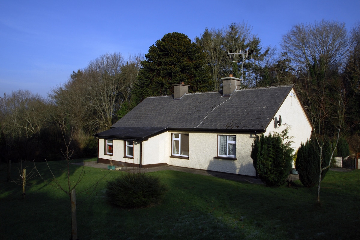 Habitation site in Ballyslea,boola (bourney Par.)Habitation site · 326 yd
 Kiln in Boola (bourney Par.)Kiln · 999 yd
 LisnageehaArchaeological place · 1161 yd
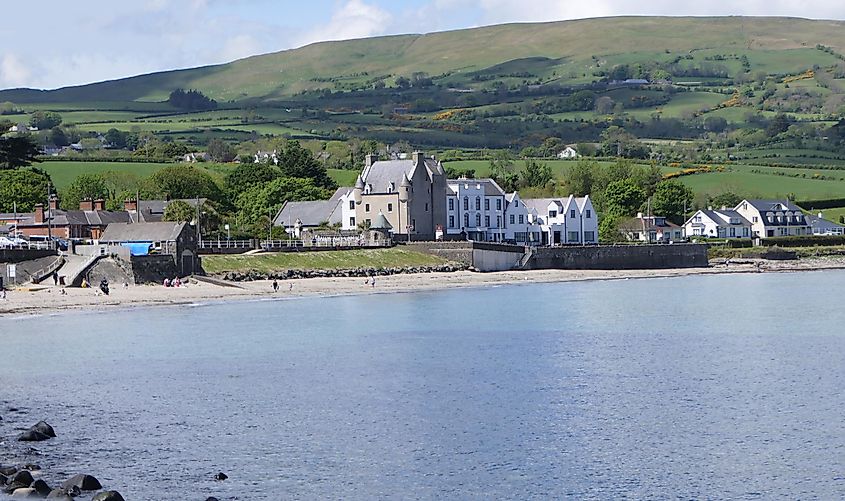 Castle (in ruins)Castle, tower house · 1384 yd
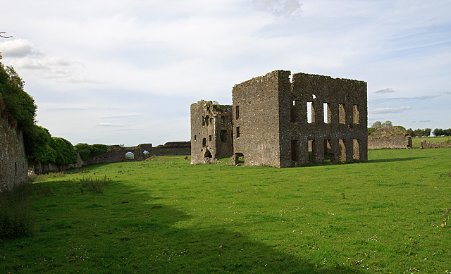 IndicatedBawn · 1438 yd
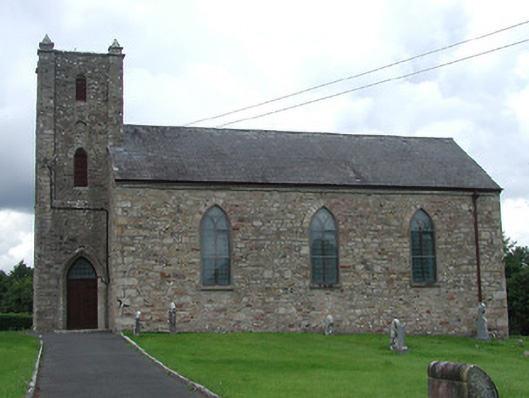 Saint Burchin's Church (Bourney)church/chapel · 1.1 mi
 Longford WoodForest · 2.8 mi
 Roscrea Petty Sessions HouseHeritage attraction · 3.3 mi
 White MulberryWhite Mulberry · 3.5 mi
 Black HillMountain / peak · 3.9 mi
 Millennium GardenMemorial · 4.3 mi
 Eagle HillMountain / peak · 4.8 mi