What is recorded here
On a gentle S-facing slope, in gently undulating, rough pasture, c. 20m to W of a stream. Not depicted on OS mapping. Identified as a possible enclosure from aerial photograph taken by the Archaeological Survey of Ireland in 2006 (ASIAP 04/03/2006). Visible as a subcircular-shaped area (15m NE-SW; 12m NW-SE) of differential growth in an area of wet scrub on Google Earth orthoimage taken 19/07/2018.
See attached Google Earth orthoimage.
Compiled by: Alison McQueen and Vera Rahilly
Date of upload: 8 July 2020
The monument record does not grant public access. Check the route and ask the landowner before entering private land.
- What survives
- Recorded monument
Places near here
 TobermurryHoly well · 755 yd
 Carriganea CastleCastle · 921 yd
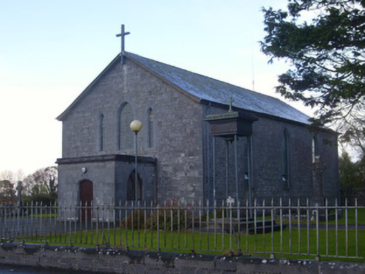 Catholic Church of Saint John the Baptistchurch/chapel · 971 yd
 Fulacht fia in TobermurryFulacht fia · 1081 yd
 Derreen Castle (in ruins)Castle, tower house · 1144 yd
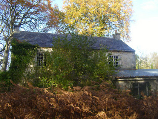 Dromlohan National Schoolschool · 1494 yd
 Stonehall Visitor FarmHeritage attraction · 1.4 mi
 European YewEuropean Yew · 1.6 mi
 Celtic Park and GardensHeritage attraction · 1.6 mi
 Sweet ChestnutSweet Chestnut · 2.2 mi
 Ringmoylan PierVisitor information · 2.9 mi
 Mellon PointHeadland · 3.4 mi