What is recorded here
On flat grassland with good views in all directions. No surface remains visible. Monument depicted as a small circular enclosure on aerial photogrpahy taken in 1971 (CUCAP, BGO 14).
Compiled by: Jean Farrelly
Date of upload: 26 August 2011
The monument record does not grant public access. Check the route and ask the landowner before entering private land.
- What survives
- Recorded monument
Places near here
 IndicatedFairy fort / earthen ringfort · 257 yd
 Ballykelly Church (in Ruins)Church · 594 yd
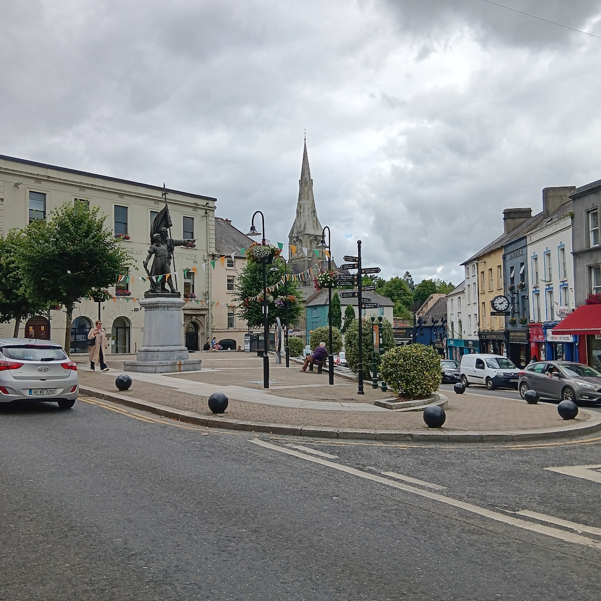 Enclosure in MarshalstownEnclosure · 761 yd
 Church (In Ruins)Church · 795 yd
 Synone CastleCastle · 1657 yd
 Gortmakellis CastleCastle · 1.1 mi
 Ballyknock HillMountain / peak · 1.9 mi
 Rock of CashelHeritage attraction · 3.0 mi
 Cormac's ChapelHeritage attraction · 3.0 mi
 The Rock Of CashelVisitor information · 3.1 mi
 Black mulberryBlack mulberry · 3.2 mi
 Clonoulty HillMountain / peak · 5.8 mi