What is recorded here
In a rough pasture hollow between gorse and heather-covered ridges. A D-shaped area (7m N-S) with the straight side at N (L 6m) is defined by the base of outcropping rock at N and elsewhere by the remains of a roughly constructed drystone wall (T 0.55m; H 0.6m) of mainly large stones. Rubble is scattered in the interior and along the perimeter. The entire enclosure is obscured by a dense overgrowth of gorse, heather and ferns.
The above description is derived from 'The Archaeological Inventory of County Cork. Volume 5' (Dublin: Stationery Office, 2009).
Date of upload: 22 December 2009
The monument record does not grant public access. Check the route and ask the landowner before entering private land.
- What survives
- Recorded monument
Places near here
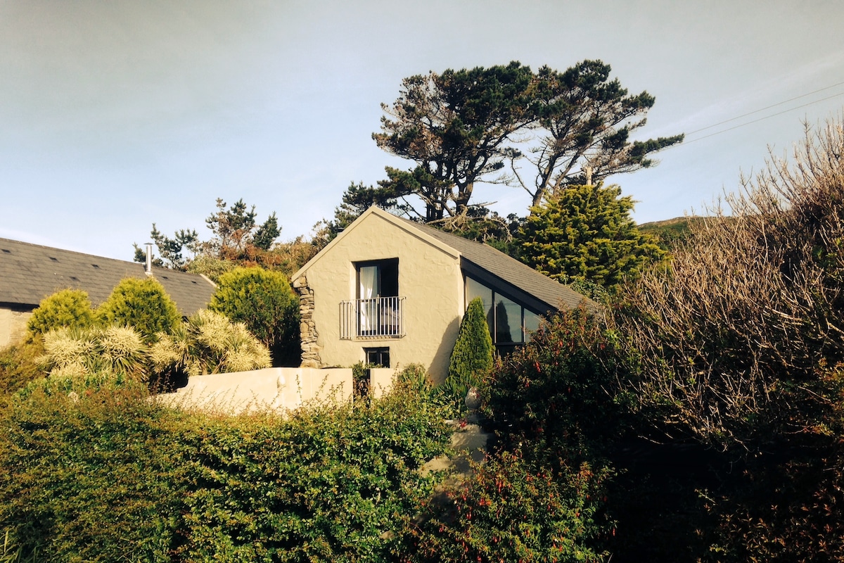 Laharandota WellHoly well · 455 yd
 Sheep's Head - Cahergal LoopWalking route · 871 yd
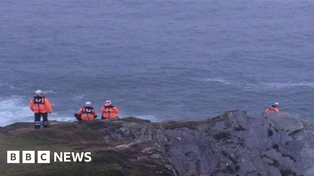 Drowning in Dunmanus BayMemorial · 1153 yd
 Tra Ruaim Fishing SpurWalking route · 1235 yd
 Burnt mound in Clash (carbery West (w.d.) By.)Burnt mound · 1345 yd
 Caher MountainMountain / peak · 1.8 mi
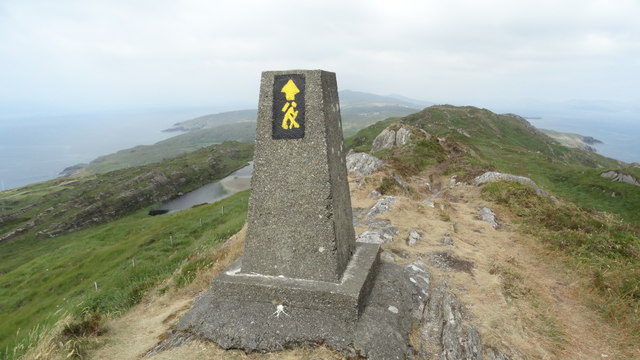 Ballyroon MountainMountain / peak · 2.4 mi
 surgery/clinicsurgery/clinic · 3.0 mi
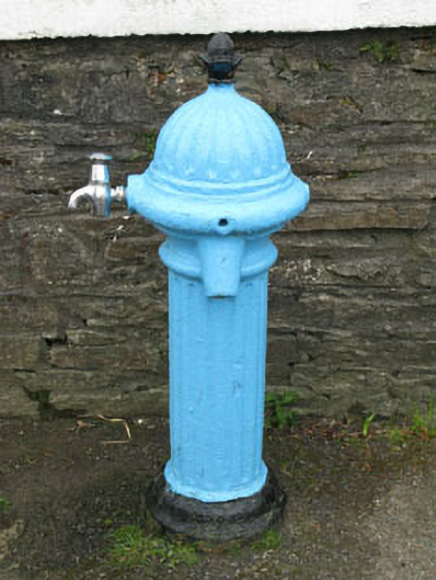 water pumpwater pump · 3.1 mi
 Mass RockMemorial · 3.1 mi
 Lough Akeen Lake ViewViewpoint · 3.2 mi
 Finn McCool's SeatViewpoint · 3.4 mi