What is recorded here
This circular enclosure is not marked on any edition of the OS maps. It consists of a circular area 60m in diameter. The enclosing bank is now much levelled and only faint traces survive. This is enclosed by a 8.5m wide U-shaped fosse, clearly visible on its E side. Slight traces of an outer bank can be noticed. The interior, which is at a slightly higher level than the surrounding land, contains a distinct raised area in the N sector (Ann Lynch, 1984).
The above description is derived from C. Toal, ‘North Kerry Archaeological Survey’. Dingle. Brandon in association with FAS Training and Employment Authority (1995), no. 1061. In certain instances the entries have been revised and updated in the light of recent research.
Date of upload: 3 August 2013
The monument record does not grant public access. Check the route and ask the landowner before entering private land.
- What survives
- Recorded monument
Places near here
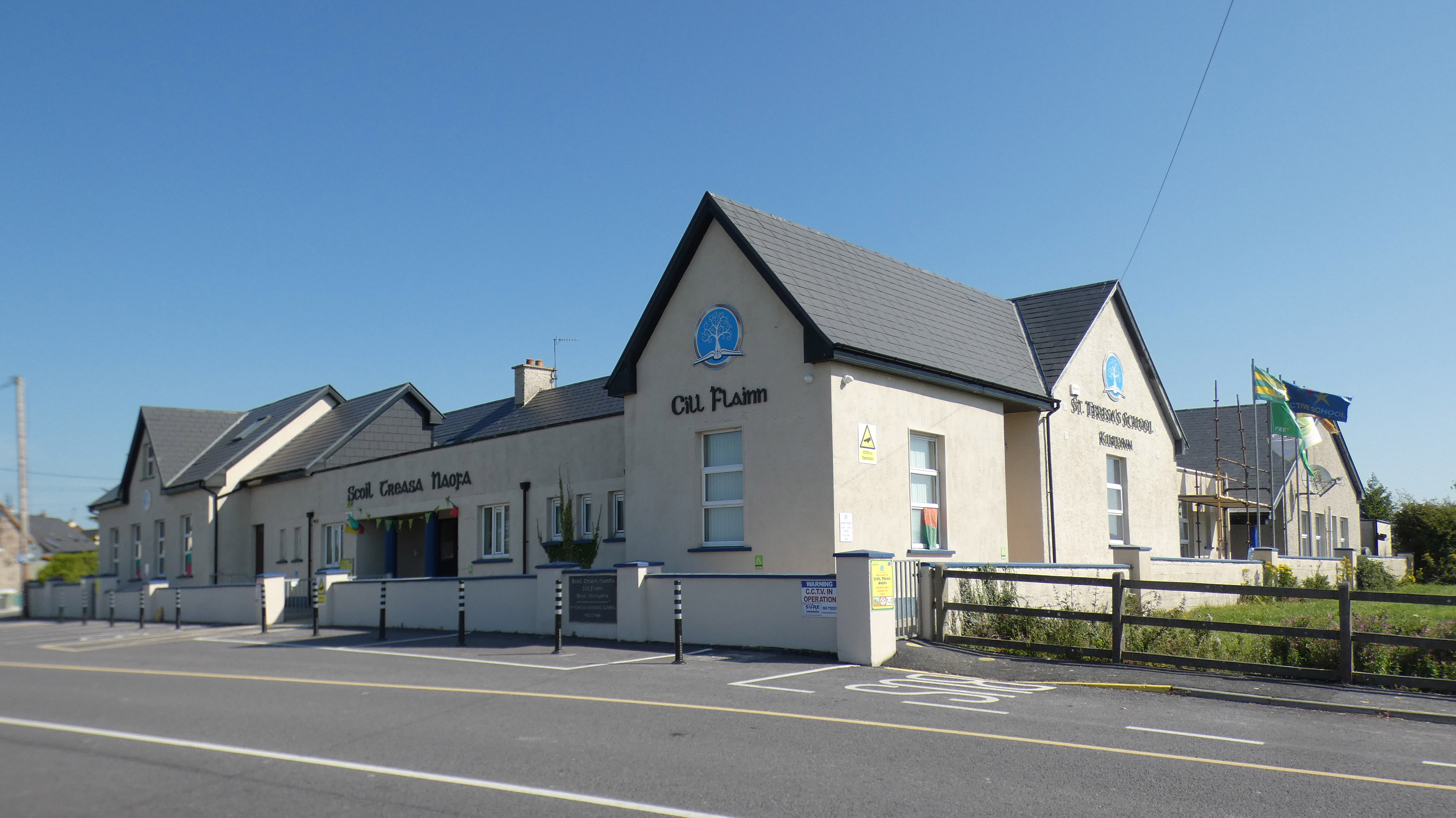 Fulacht fia in Kilcooly NorthFulacht fia · 587 yd
 Church in Kilcooly NorthChurch · 1300 yd
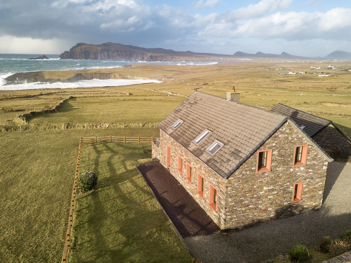 Enclosure in Clooneen,dromkeen EastEnclosure · 1.3 mi
 Ballymacaquinn Castle (remains of)Castle · 1.3 mi
 Castle (in ruins)Castle, unclassified · 1.9 mi
 Catholic Church of the Sacred Heartchurch/chapel · 2.4 mi
 Our Lady's Holy WellSpring · 4.0 mi
 Pierce's IslandIslet · 4.4 mi
 Inshaboy PointHeadland · 4.4 mi
 Ardfert FriaryVisitor information · 4.8 mi
 Ardfert Franciscan FriaryVisitor information · 4.8 mi
 Tobar na MoltSpring · 4.9 mi