What is recorded here
On flat poorly drained terrain in undulating countryside. No surface remains of any enclosure in area marked on latest ed. OS 6-inch map. Depicted as a small circular enclosure with trees planted inside it on 1840 ed. OS 6-inch map. Very wet reedy ground and unlikely location for an enclosure. May have been a grove of trees planted on marshy terrain but may also be an archaeological monument.
Compiled by: Jean Farrelly
Date of upload: 26 August 2011
The monument record does not grant public access. Check the route and ask the landowner before entering private land.
- What survives
- Recorded monument
Places near here
 Enclosure in GreenfieldEnclosure · 1145 yd
 Greenfield Househouse · 1213 yd
 Green Field ParkWood · 1487 yd
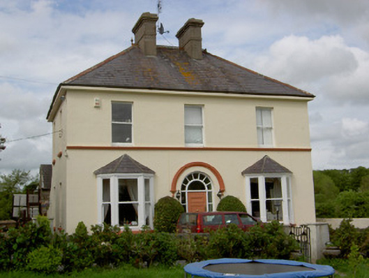 Glenview Househouse · 1518 yd
 St. James WellHoly well · 1.1 mi
 Donohill MoatCastle, motte and bailey · 1.2 mi
 CastleCastle, unclassified · 1.5 mi
 Soloheadbeg Ambushambush · 2.6 mi
 Maudemount BogWood · 2.7 mi
 Soloheadbeg Ambush SiteMemorial · 3.3 mi
 Oola HillMountain / peak · 4.9 mi
 GortnageraghMountain / peak · 5.2 mi