What is recorded here
In pasture, on N-facing slope. Roughly circular area (20m SW-NE) defined by exceptionally wide scarped edge (ext. H 2.3m; Wth 16m). Wall of otherwise demolished house stands on base of scarp N->NE; field drain truncates base of scarp NE->SE. Running W from SW corner of scarp is bank of earth (Wth 25m; H 1.1m) which may be material dumped here when nearby enclosure (LI030-071---) levelled c. 1975.
Compiled by: Denis Power
Date of upload: 26 August 2011
The monument record does not grant public access. Check the route and ask the landowner before entering private land.
- What survives
- Recorded monument
Places near here
 Ballynahaha Housegates/railings/walls · 496 yd
 Indicated (1924).Field boundary · 1076 yd
 Famine stoneMemorial · 1191 yd
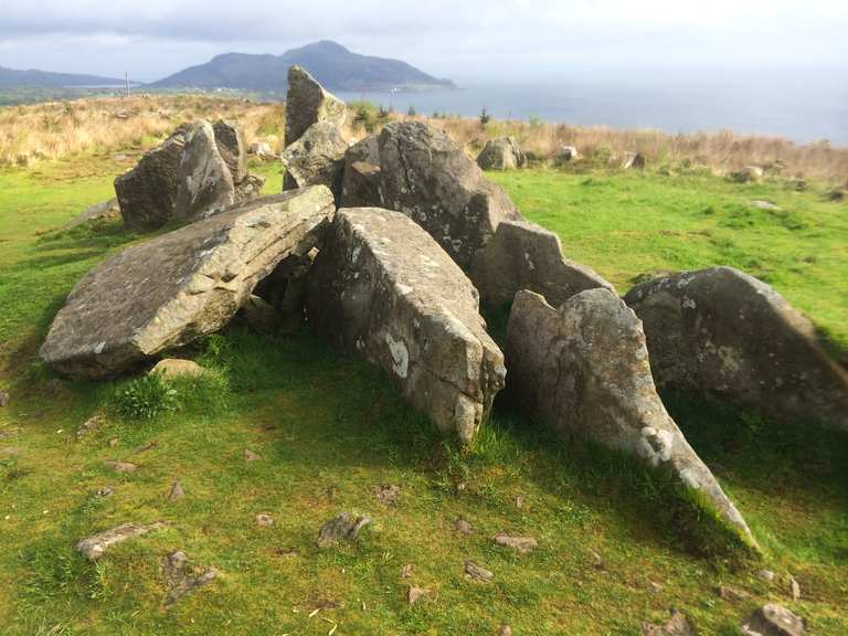 Giants Grave (1924).Wedge tomb · 1516 yd
 KnockfeerinaMountain / peak · 1662 yd
 Abbey (in ruins)Church · 1732 yd
 Castle (in ruins)Castle, tower house · 1.4 mi
 Kilmacow Ho.Bawn · 1.4 mi
 Kinnoor WellSpring · 2.4 mi
 Flat cemetery in Kiltenan SouthFlat cemetery · 2.8 mi
 Dysert AenghusaHeritage attraction · 4.1 mi
 Lady's WellSpring · 4.6 mi