What is recorded here
Situated on a fairly level landscape. A subcircular area (dims c. 34m N-S; c. 28m E-W) defined by a single fosse is visible on iMAPs (2022). It is also faintly visible on a MapGenie image (2005-12), and it was first reported by Jean Charles Caillére.
See the attached enhanced view from iMAPs (2022)
Compiled by: Michael Moore
Date of upload: 6 June 2023
The monument record does not grant public access. Check the route and ask the landowner before entering private land.
- What survives
- Recorded monument
Places near here
 Castle Talbot (in ruins)Structure · 1474 yd
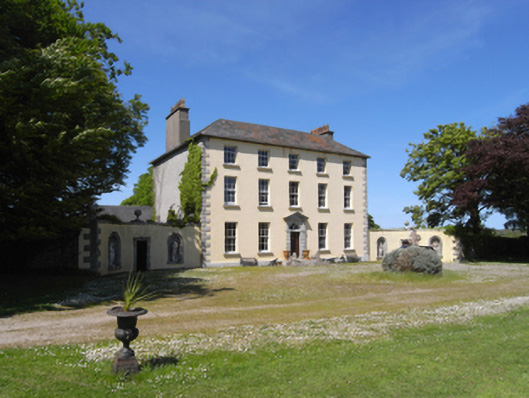 Castle Talbotcountry house · 1578 yd
 St. Johns WellHoly well · 1616 yd
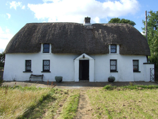 Saint Anthony'sfarm house · 1630 yd
 1798 MonumentMemorial · 1.0 mi
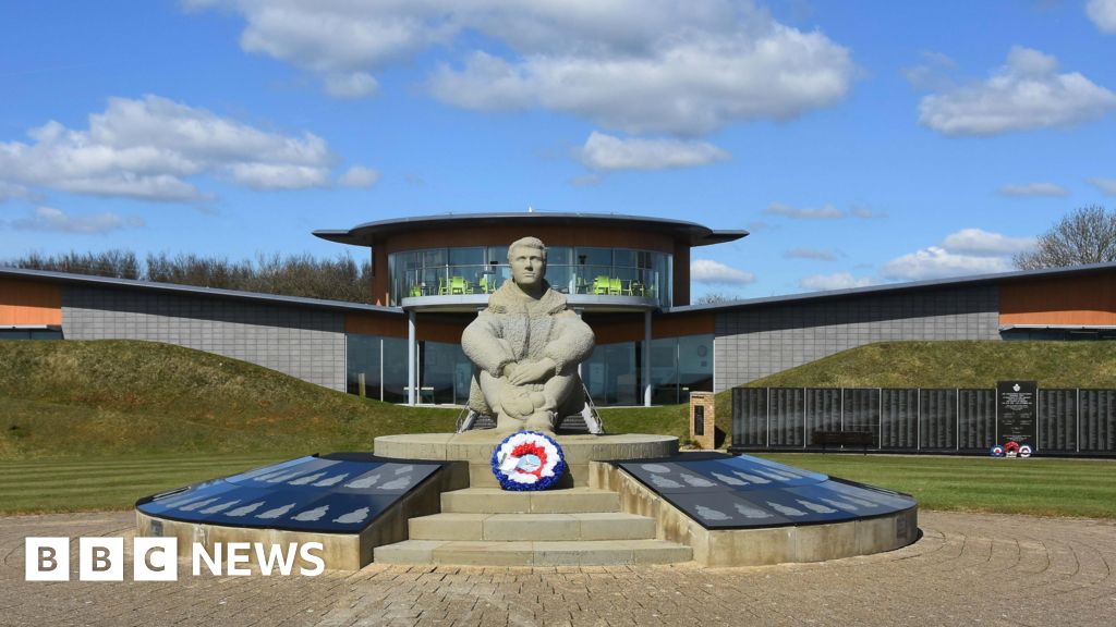 Memorial to The PomonaMemorial · 1.5 mi
 Ballingowan MoteCastle, motte · 1.6 mi
 71Mountain / peak · 2.2 mi
 Blackwater Coastal Erosion Monitoring PointViewpoint · 2.9 mi
 CastleCastle, unclassified · 3.4 mi
 Battle of Oulart Hill signVisitor information · 3.5 mi
 Oulart HillMountain / peak · 3.8 mi